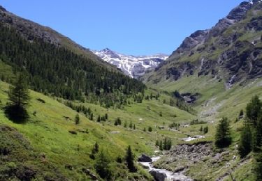
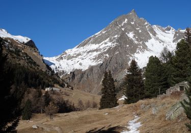
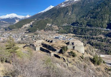
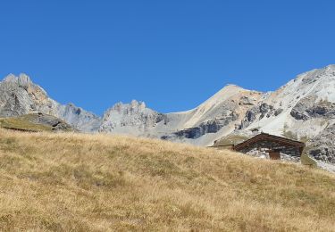
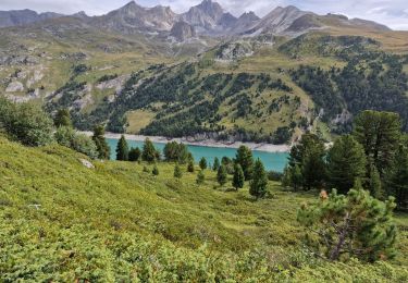
Trail Walking Villarodin-Bourget - Le Balcon de la Vanoise - L'aiguille Doran - Plan Sec - Photo

Le Balcon de la Vanoise - L'aiguille Doran - Plan Sec

 tracegps
tracegps

User

© OpenStreetMap contributors
Length
Length
11.1 km
Max alt
Max alt
2454 m
Uphill gradient
Uphill gradient
1025 m
Km-Effort
Km-Effort  
23 km
Min alt
Min alt
1841 m
Downhill gradient
Downhill gradient
548 m
Boucle
Boucle
No
Creation date :
2014-12-10 00:00:00.0
Updated on :
2014-12-10 00:00:00.0

(0 Reviews)

Walking
Walking
8h00
Difficulty : Very difficult

Scan this QR Code to open this trail in the SityTrail application

FREE GPS app for hiking

Logo SityTrail SityTrail

IGN / Geographical institutes

Download SityTrail from the App Store Download SityTrail from Google Play

Logo SityTrail SityTrail World

The world is yours!

Download SityTrail from the App Store Download SityTrail from Google Play Download SityTrail on Huawei AppGallery

About

Trail Walking of 11.1 km to be discovered at Auvergne-Rhône-Alpes, Savoy, Villarodin-Bourget. This trail is proposed by tracegps.

Description

Deuxième étape, la suite est ICI

Elevation profile

Photos

Positioning

Country:
France
Region :
Auvergne-Rhône-Alpes
Department/Province :
Savoy
Municipality :
Villarodin-Bourget
Location:
Unknown
Start:(UTM)
317476 ; 5010290 (32T) N.

Trails nearby

Trail Walking Avrieux - Lac de Pelouse - La Norma - Photo
Walking
tracegps

Walking

Medium
(1)
Avrieux, Auvergne-Rhône-Alpes, Savoy, France
4.1 km | 11.1 km-effort
3h 0min
No
Trail On foot Villarodin-Bourget - Vallon de l'Orgère - Photo
On foot
PRO

On foot

Easy
Villarodin-Bourget, Auvergne-Rhône-Alpes, Savoy, France
4 km | 5.9 km-effort
1h 19min
No
Trail Walking Aussois - Le tour du glacier de la Vanoise - Photo
Walking
augusss

Walking

Difficult
(3)
Aussois, Auvergne-Rhône-Alpes, Savoy, France
69 km | 131 km-effort
16h 40min
Yes
Trail sport Fourneaux - Modane - Fort du Sapey AR - Photo
sport
erjot60

sport

Very easy
Fourneaux, Auvergne-Rhône-Alpes, Savoy, France
10.5 km | 19.2 km-effort
Unknown
Yes
Trail Walking Aussois - Refuges du fond d'Aussois , ref. Dent Parrachée et Fournache. - Photo
Walking
janussity

Walking

Difficult
Aussois, Auvergne-Rhône-Alpes, Savoy, France
11.7 km | 18.9 km-effort
3h 47min
Yes
Trail Walking Aussois - Roche Moutche depuis Plan d'Amont - Photo
Walking
lpratz

Walking

Difficult
Aussois, Auvergne-Rhône-Alpes, Savoy, France
12 km | 22 km-effort
6h 19min
Yes
Trail Walking Aussois - Lac du génépy Glacier du Labby - Photo
Walking
Michel_Martin

Walking

Medium
(1)
Aussois, Auvergne-Rhône-Alpes, Savoy, France
14 km | 28 km-effort
6h 26min
Yes
Trail Walking Saint-André - St André -Le Col - Le Villard et retour  - Photo
Walking
erjot60

Walking

Medium
Saint-André, Auvergne-Rhône-Alpes, Savoy, France
6.6 km | 11.8 km-effort
3h 32min
Yes
Trail Walking Avrieux - Col du Barbier et télégraphe  - Photo
Walking
nadd73

Walking

Medium
Avrieux, Auvergne-Rhône-Alpes, Savoy, France
13.4 km | 31 km-effort
4h 37min
Yes


Close
My subscriptions