


Circuit de Malcombe

frizou83
User
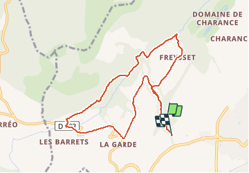

Length
9.8 km

Max alt
1232 m

Uphill gradient
379 m
Km-Effort
15 km

Min alt
896 m

Downhill gradient
405 m
Boucle
No
Creation date :
2019-01-15 20:08:59.363
Updated on :
2019-01-15 20:08:59.363
3h05
Difficulty : Easy

FREE GPS app for hiking
 SityTrail
IGN / Geographical institutes
SityTrail Plus
The world is yours!
About
Trail Walking of 9.8 km to be discovered at Provence-Alpes-Côte d'Azur, Hautes-Alpes, Gap. This trail is proposed by frizou83.
Description
Randonnée agréable offrant tout au long du parcours une diversité de paysages.
Ne pas hésiter quand cela est possible de couper a travers champ pour limiter le bitume.
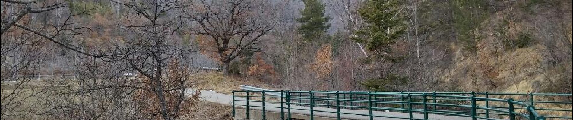
Photos


Positioning
Country:
France
Region :
Provence-Alpes-Côte d'Azur
Department/Province :
Hautes-Alpes
Municipality :
Gap
Location:
Gap
Start:(Dec)
Start:(UTM)
265119 ; 4938339 (32T) N.
Comments