Trail Walking Remiencourt - Le bois du Roi - Photo
 tracegps
tracegps

User

© OpenStreetMap contributors
Length
Length
12.4 km
Max alt
Max alt
123 m
Uphill gradient
Uphill gradient
207 m
Km-Effort
Km-Effort  
15.2 km
Min alt
Min alt
36 m
Downhill gradient
Downhill gradient
206 m
Boucle
Boucle
Yes
Creation date :
2014-12-10 00:00:00.0
Updated on :
2014-12-10 00:00:00.0

(1 Reviews)

Walking
Walking
4h00
Difficulty : Difficult

Scan this QR Code to open this trail in the SityTrail application

FREE GPS app for hiking

Logo SityTrail SityTrail

IGN / Geographical institutes

Download SityTrail from the App Store Download SityTrail from Google Play

Logo SityTrail SityTrail World

The world is yours!

Download SityTrail from the App Store Download SityTrail from Google Play Download SityTrail on Huawei AppGallery

About

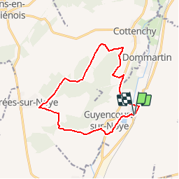
Trail Walking of 12.4 km to be discovered at Hauts-de-France, Somme, Remiencourt. This trail is proposed by tracegps.

Description

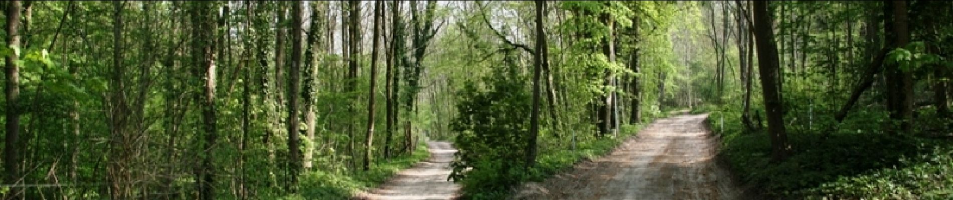
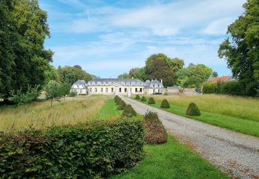
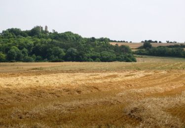
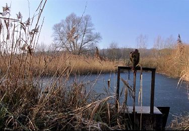
Une rivière discrète, de paisibles étangs, des bois tranquilles, de jolis panoramas, un élégant chateau, tout le charme du Val de Noye !

Elevation profile

Photos

Positioning

Country:
France
Region :
Hauts-de-France
Department/Province :
Somme
Municipality :
Remiencourt
Location:
Unknown
Start:(UTM)
455618 ; 5514589 (31U) N.

Comments

Please log in to post a review or rate the element


Trails nearby

Trail Walking Remiencourt - le bois du roi  Remiencourt 80 - Photo
Walking
José800

Walking

Medium
Remiencourt, Hauts-de-France, Somme, France
12.7 km | 15.4 km-effort
3h 10min
Yes
Trail Walking Ailly-sur-Noye - Bois de Berny - Photo
Walking
sulcata80

Walking

Medium
(1)
Ailly-sur-Noye, Hauts-de-France, Somme, France
10.1 km | 12.1 km-effort
2h 38min
Yes
Trail Walking Fouencamps - Autour des trains 2 - Photo
Walking
sulcata80

Walking

Medium
(2)
Fouencamps, Hauts-de-France, Somme, France
9.2 km | 10.7 km-effort
Unknown
Yes
Trail Walking Sains-en-Amiénois - Circuit du Cambos - Sains-en-Amienois - Photo
Walking
tracegps

Walking

Very difficult
Sains-en-Amiénois, Hauts-de-France, Somme, France
16.8 km | 20 km-effort
4h 10min
Yes
Trail Walking Sains-en-Amiénois - Circuit de Rumigny - Sains-en-Amienois - Photo
Walking
tracegps

Walking

Medium
Sains-en-Amiénois, Hauts-de-France, Somme, France
10.9 km | 12.7 km-effort
2h 15min
Yes
Trail Other activity Ailly-sur-Noye - f - Photo
Other activity
olivierjeantet

Other activity

Very easy
Ailly-sur-Noye, Hauts-de-France, Somme, France
18.8 km | 22 km-effort
2h 3min
Yes
Trail Mountain bike Ailly-sur-Noye - Circuit n° 4  VTT -  Ailly-sur-Noye - Photo
Mountain bike
tracegps

Mountain bike

Difficult
Ailly-sur-Noye, Hauts-de-France, Somme, France
42 km | 50 km-effort
4h 0min
Yes
Trail Cycle Ailly-sur-Noye - Le Val de Noye - Boucle de Boves - Photo
Cycle
tracegps

Cycle

Medium
Ailly-sur-Noye, Hauts-de-France, Somme, France
27 km | 30 km-effort
1h 30min
Yes
Trail Cycle Ailly-sur-Noye - Le Val de Noye - Boucle de Coullemelle - Photo
Cycle
tracegps

Cycle

Medium
Ailly-sur-Noye, Hauts-de-France, Somme, France
33 km | 38 km-effort
2h 0min
Yes


Close
My subscriptions