


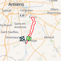

12.4 km | 15.2 km-effort

User


FREE GPS app for hiking
 SityTrail
IGN / Geographical institutes
SityTrail World
The world is yours!
Trail Cycle of 27 km to be discovered at Hauts-de-France, Somme, Ailly-sur-Noye. This trail is proposed by tracegps.
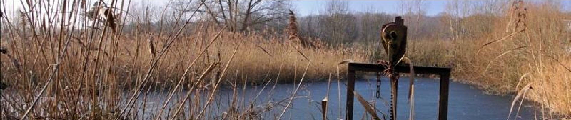
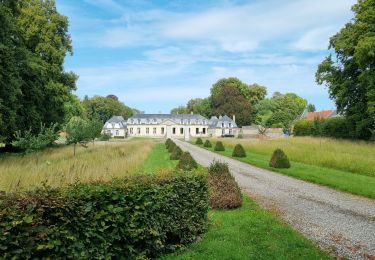
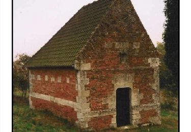
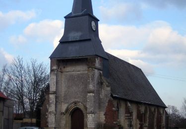
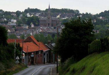
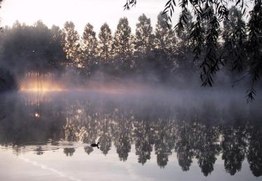
Le Val de Noye - Boucle de Boves Une boucle à la découverte d’une très jolie vallée enchâssée dans un écrin de verdure avec étangs et peupleraies. À voir; Vallée de la Noye : nombreux étangs. Remiencourt : départ du circuit de randonnée « Le Bois du Roi ». Folleville : vestiges d’un château du Moyen Age. Ailly-sur-Noye : église Saint-Martin (fin 19e siècle), plan d’eau et site du son et lumière « le souffle de la Terre » tous les ans fin août / début sept.

Walking
Walking

Walking
Walking
Walking
On foot
Other activity
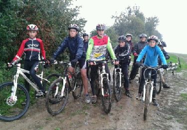
Mountain bike
Cycle