


4.1 km | 6.4 km-effort

User


FREE GPS app for hiking
 SityTrail
IGN / Geographical institutes
SityTrail World
The world is yours!
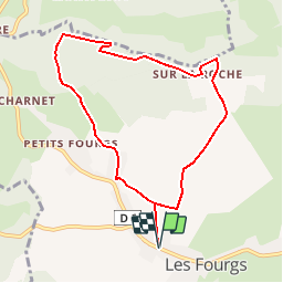
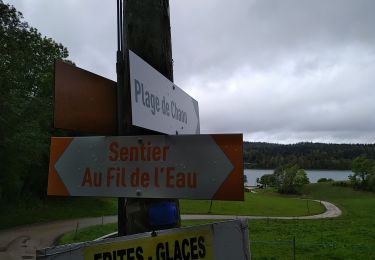
Trail Walking of 8.3 km to be discovered at Bourgogne-Franche-Comté, Doubs, Les Fourgs. This trail is proposed by tracegps.
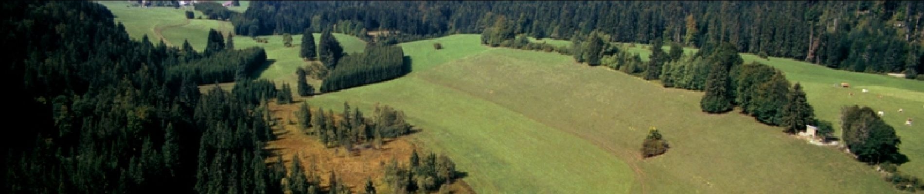
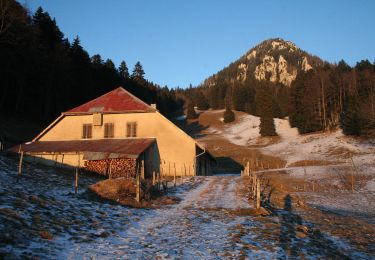
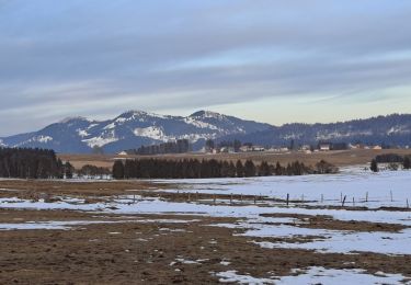
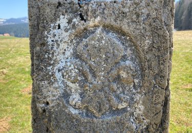
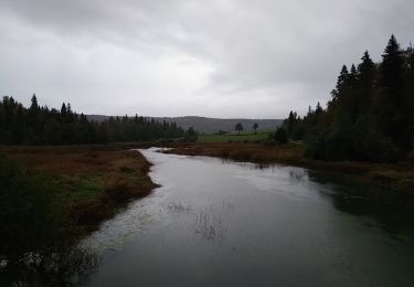
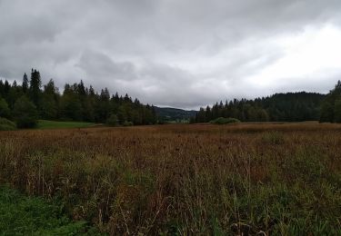
Le Doubs, réserve naturelle d’idées neuves ! Secteur géographique : Les Fourgs Intérêt du parcours : Environnement naturel : belvédère de la Roche Sarrazine, pâtures, forêt. Environnement culturel : artisanat et produits régionaux au village. A voir dans les environs : Le château de Joux à la Cluse et Mijoux. Parcours Aventure « Entre ciel et terre » aux Fourgs. Sentier des Bornes. Lac St-Point (3ème lac naturel de France) et lac de Remoray (réserve naturelle). Maison de la réserve à Labergement Ste-Marie. Musées de boîtes à musique et automates en Suisse voisine

On foot

Walking
Cross-country skiing
On foot
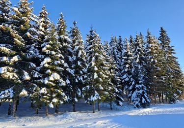
Cross-country skiing
Walking
Walking
Walking
Walking
Très joli circuit, facile.