


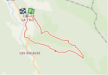

17.5 km | 33 km-effort

User


FREE GPS app for hiking
 SityTrail
IGN / Geographical institutes
SityTrail World
The world is yours!
Trail Mountain bike of 8.2 km to be discovered at Occitania, Ariège, Ercé. This trail is proposed by tracegps.
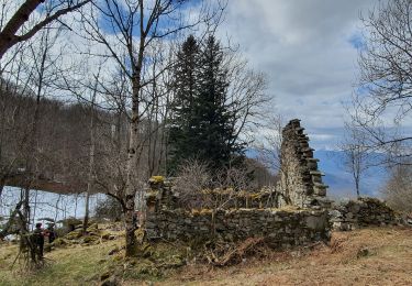
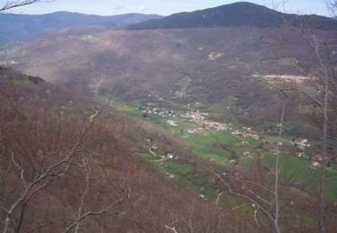
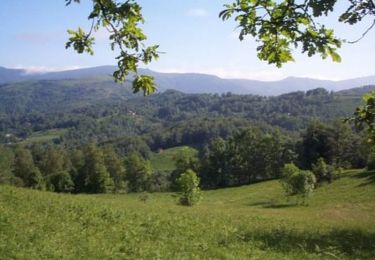
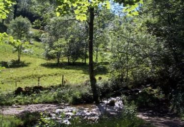
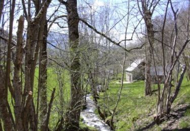
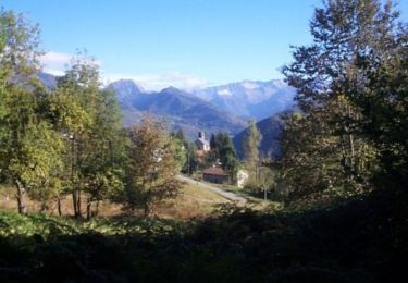
Grand comme trois fois la ville de Paris, le Haut-Couserans se situe au coeur des Pyrénées Ariègeoises à 1h30 de Toulouse. Son environnement naturel et bâtit exceptionnellement préservé, variant de 463m à 2865m, est à découvrir. La Pastorale Balade le long des prairies pastorales, regorgeant des traces du passé, dont un moulin à eau construit entièrement en bois. D’Oust prendre la direction d’Aulus et traverser le village d’Ercé ; vous passez le centre d’accueil « L’Escalusse » et après un virage, tourner à la 1ère à gauche. Le hameau égrené du bout de la ville vous conduit par une montée douce à la croisée de trois routes devant un oratoire où se situe le départ.

Walking
Walking
Mountain bike

Walking
Walking
Mountain bike

Walking
Walking