


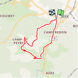

10.1 km | 18.8 km-effort

User


FREE GPS app for hiking
 SityTrail
IGN / Geographical institutes
SityTrail World
The world is yours!
Trail Walking of 6.8 km to be discovered at Occitania, Ariège, Seix. This trail is proposed by tracegps.
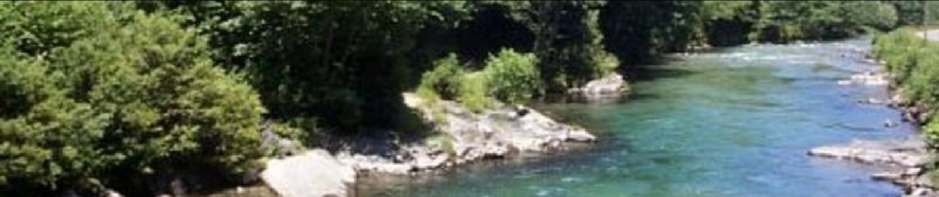
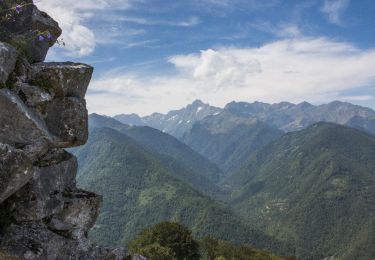
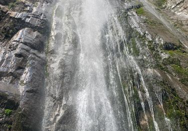
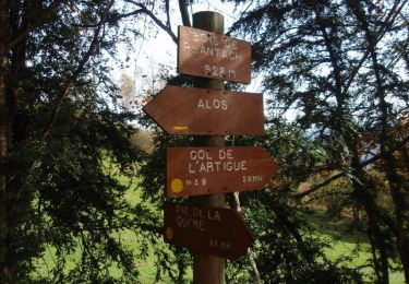
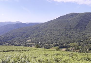
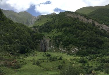
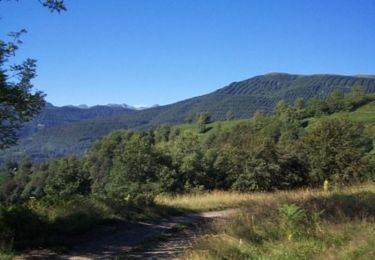
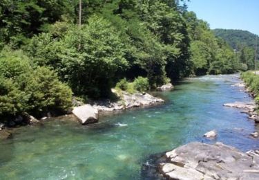
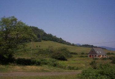
Grand comme trois fois la ville de Paris, le Haut-Couserans se situe au cœur des Pyrénées Ariègeoises à 1h30 de Toulouse. Son environnement naturel et bâtit exceptionnellement préservé, variant de 463m à 2865m, est à découvrir. Les bords du Salat. Le Salat et sa vallée, la montagne du Cos et son sentier d'interprétation réalisé par l’ONF et l’Association des Naturalistes Ariégeois. Dans Seix, prendre derrière l’église des ruelles jusqu’au boulodrome, lieu dit « Le Campot ».

Walking
Walking

Walking
Walking
Electric bike
Walking
Mountain bike
Mountain bike
attention le chemin à la sortie d Esteyches n existe plus. prendre le gr 10 au bas du ruisseau pour monter au col de l oule