


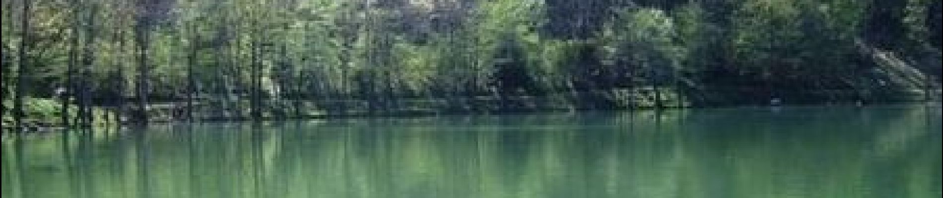
Le Lac de Lachtelweiher et la source de la Doller

tracegps
User


3h30
Difficulty : Medium

FREE GPS app for hiking
 SityTrail
IGN / Geographical institutes
SityTrail Plus
The world is yours!
About
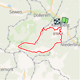
Trail Walking of 10.9 km to be discovered at Grand Est, Haut-Rhin, Kirchberg. This trail is proposed by tracegps.
Description
Le Lac de Lachtelweiher et la source de la Doller. Randonnée en boucle à partir de Kirchberg (près de Masevaux), les deux objectifs de la journée : la source de la Doller et le lac de Lachtelweiher. Retrouvez la suite sur le site de la Communauté des Crapahuteurs.
Photos

Positioning
Comments