


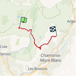

9 km | 14.3 km-effort

User


FREE GPS app for hiking
 SityTrail
IGN / Geographical institutes
SityTrail World
The world is yours!
Trail Walking of 13.9 km to be discovered at Auvergne-Rhône-Alpes, Upper Savoy, Passy. This trail is proposed by tracegps.
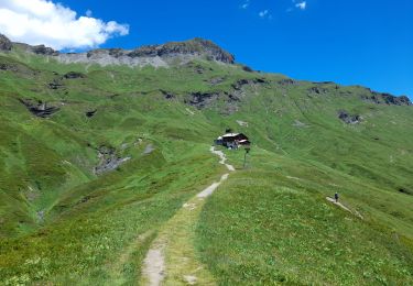
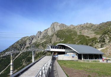
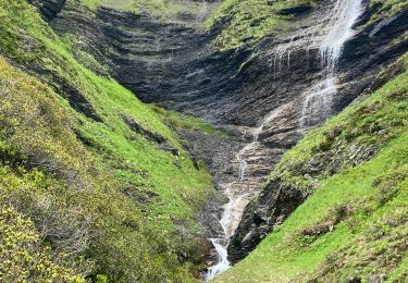
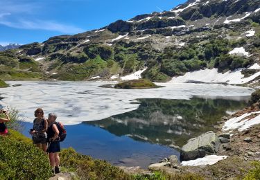
Via Alpina - R112: Refuge de Moëde-Anterne > La Flégère. Sur cette étape, la Via Alpina emprunte en grande partie le GR® du Tour de pays du Mont-Blanc. Elle traverse la réserve naturelle des Aiguilles Rouges jusqu’au col du Brévent puis redescend versant Chamonix vers les chalets de Planpraz, avant de poursuivre en balcon face au massif du Mont-Blanc jusqu’au chalet perché de la Flégère, point d’étape. Description complète de l’étape sur Via-Alpina.org.


Walking

Walking

Walking
Walking
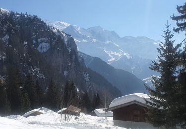
Snowshoes
On foot
Walking
Walking
Walking