


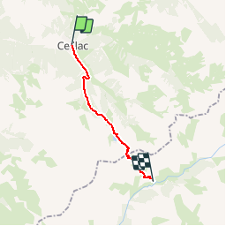

13.4 km | 26 km-effort

User


FREE GPS app for hiking
 SityTrail
IGN / Geographical institutes
SityTrail World
The world is yours!
Trail Walking of 12.6 km to be discovered at Provence-Alpes-Côte d'Azur, Hautes-Alpes, Ceillac. This trail is proposed by tracegps.
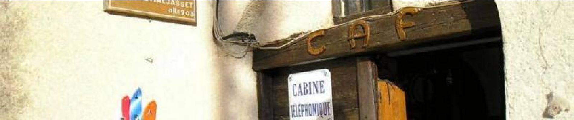
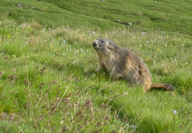
Via Alpina - R133: Ceillac > Maljasset. En quittant Ceillac, la Via Alpina rallie le GR 5 pour atteindre, dans un premier temps, le lac Miroir puis le grand lac Ste Anne au pied des pics de la Font-Sancte. L’itinéraire monte ensuite au col Girardin, frontière du parc naturel régional du Queyras. La descente sur le versant Ubaye, plus minéral, amène, après avoir quitté le GR5, au hameau traditionnel de Maljasset, point d’étape. Randonnée alpine (passage équipé ou très exposé, névé, blocs). Description complète de l’étape sur Via-Alpina.org.


Walking

Walking
Walking

Walking

Walking

Walking
Walking

Walking
Walking