


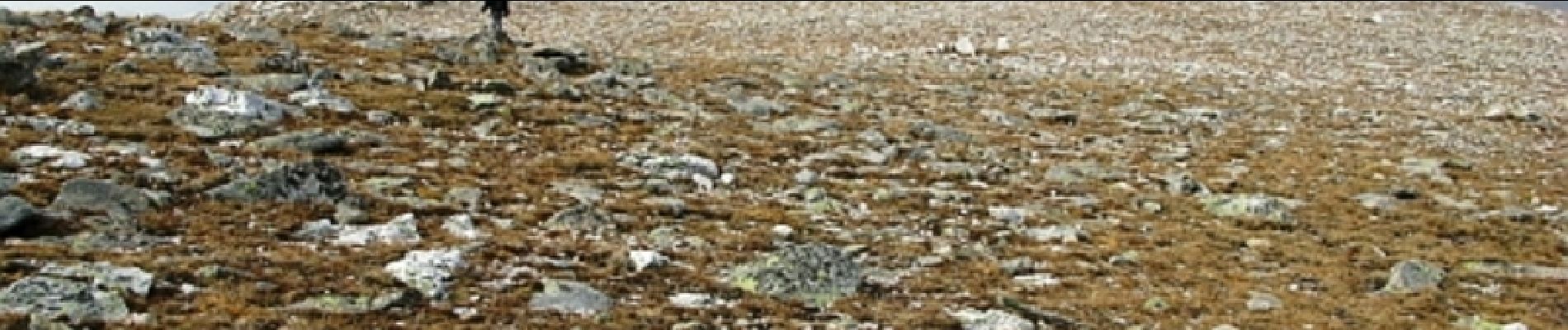
Roc Colom

tracegps
User
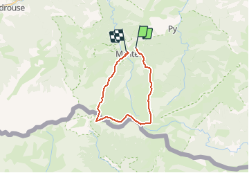

Length
19.4 km

Max alt
2496 m

Uphill gradient
1035 m
Km-Effort
34 km

Min alt
1479 m

Downhill gradient
1228 m
Boucle
No
Creation date :
2014-12-10 00:00:00.0
Updated on :
2014-12-10 00:00:00.0
4h30
Difficulty : Difficult

FREE GPS app for hiking
 SityTrail
IGN / Geographical institutes
SityTrail Plus
The world is yours!
About
Trail Walking of 19.4 km to be discovered at Occitania, Pyrénées-Orientales, Py. This trail is proposed by tracegps.
Description
Association des Randonnées Sainte Marinoise. Longue boucle avec des bon coups de rein. Vue sur Canigou entre autres.
Photos

Positioning
Country:
France
Region :
Occitania
Department/Province :
Pyrénées-Orientales
Municipality :
Py
Location:
Unknown
Start:(Dec)
Start:(UTM)
443625 ; 4703416 (31T) N.
Comments
excellent