Trail Walking Bucquoy - Le sentier du Bois d'Afinder (Bucquoy) - Photo

Le sentier du Bois d'Afinder (Bucquoy)

 tracegps
tracegps

User

© OpenStreetMap contributors
Length
Length
17.6 km
Max alt
Max alt
152 m
Uphill gradient
Uphill gradient
178 m
Km-Effort
Km-Effort  
20 km
Min alt
Min alt
94 m
Downhill gradient
Downhill gradient
178 m
Boucle
Boucle
Yes
Creation date :
2014-12-10 00:00:00.0
Updated on :
2014-12-10 00:00:00.0

(0 Reviews)

Walking
Walking
4h30
Difficulty : Difficult

Scan this QR Code to open this trail in the SityTrail application

FREE GPS app for hiking

Logo SityTrail SityTrail

IGN / Geographical institutes

Download SityTrail from the App Store Download SityTrail from Google Play

Logo SityTrail SityTrail World

The world is yours!

Download SityTrail from the App Store Download SityTrail from Google Play Download SityTrail on Huawei AppGallery

About

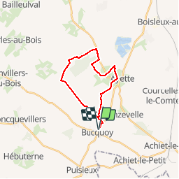
Trail Walking of 17.6 km to be discovered at Hauts-de-France, Pas-de-Calais, Bucquoy. This trail is proposed by tracegps.

Description

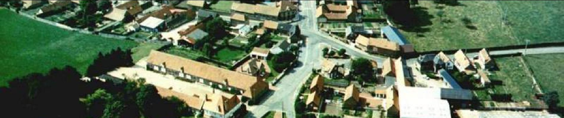
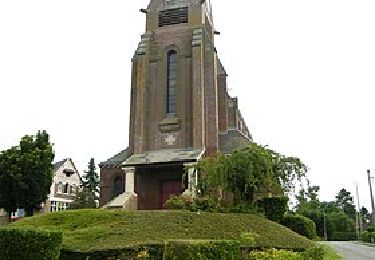
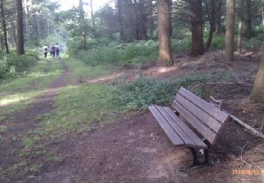
Circuit proposé par l’Office de Tourisme du Seuil de l’Artois Bapaume – Bertincourt . Départ prés de l’église de Bucquoy. À travers les pâtures, les champs, arpentez des chemins vallonnés, verdoyants, reflétant en période estivale de couleurs multiples. Les animaux et le gibier vous tiendront compagnie tout au long de cette balade. Vous découvrirez aussi le village de Bucquoy et son système de lagune, les villages d'Ayette et Douchy-lès-Ayette et quelques bribes de leur histoire. Retrouvez le plan et son descriptif ICI. Ce circuit a été numérisé par les randonneurs du CODEPEM. Merci à Jean-Marie.

Elevation profile

Photos

Positioning

Country:
France
Region :
Hauts-de-France
Department/Province :
Pas-de-Calais
Municipality :
Bucquoy
Location:
Unknown
Start:(UTM)
479334 ; 5554487 (31U) N.

Trails nearby

Trail Walking Puisieux - Sentier des Braves - Serre-lès-Puisieux - Photo
Walking
tracegps

Walking

Medium
Puisieux, Hauts-de-France, Pas-de-Calais, France
11 km | 12.4 km-effort
2h 45min
Yes
Trail Walking Irles - IRLES (80) - Les sources de l'Ancre - Photo
Walking
temmichel

Walking

Difficult
Irles, Hauts-de-France, Somme, France
12.4 km | 14.4 km-effort
3h 15min
Yes
Trail Walking Ayette - Ayette - Douchy les Ayette - Photo
Walking
tracegps

Walking

Medium
Ayette, Hauts-de-France, Pas-de-Calais, France
11.4 km | 12.9 km-effort
2h 0min
Yes


Close
My subscriptions