Trail Walking Villers-Pol - Autour de Villers-Pol - Photo

Autour de Villers-Pol

 tracegps
tracegps

User

© OpenStreetMap contributors
Length
Length
7.7 km
Max alt
Max alt
113 m
Uphill gradient
Uphill gradient
80 m
Km-Effort
Km-Effort  
8.7 km
Min alt
Min alt
65 m
Downhill gradient
Downhill gradient
79 m
Boucle
Boucle
Yes
Creation date :
2014-12-10 00:00:00.0
Updated on :
2014-12-10 00:00:00.0

(2 Reviews)

Walking
Walking
1h49
Difficulty : Easy

Scan this QR Code to open this trail in the SityTrail application

FREE GPS app for hiking

Logo SityTrail SityTrail

IGN / Geographical institutes

Download SityTrail from the App Store Download SityTrail from Google Play

Logo SityTrail SityTrail World

The world is yours!

Download SityTrail from the App Store Download SityTrail from Google Play Download SityTrail on Huawei AppGallery

About

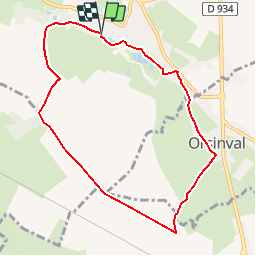
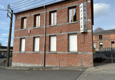
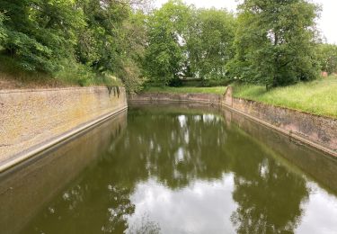
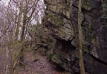
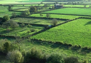
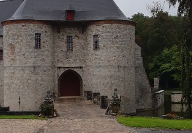
Trail Walking of 7.7 km to be discovered at Hauts-de-France, Nord, Villers-Pol. This trail is proposed by tracegps.

Description

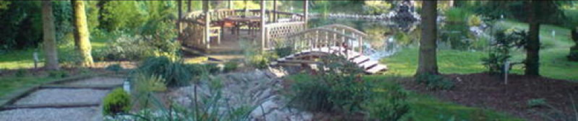
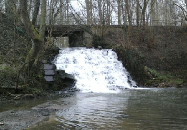
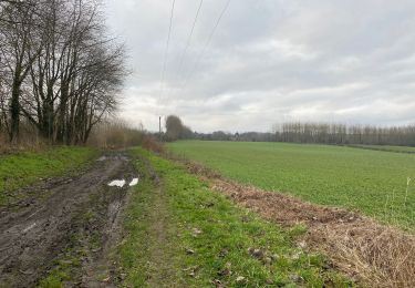
Circuit proposé par le Comité Départemental du Tourisme du Nord. Départ de l’étang de Villers-Pol. Balade dans la vallée de la Rhonelle, entre plateau cultivé et fond de vallée bocager. Retrouvez cette randonnée sur le site du Comité Départemental du Tourisme du Nord.

Elevation profile

Photos

Positioning

Country:
France
Region :
Hauts-de-France
Department/Province :
Nord
Municipality :
Villers-Pol
Location:
Unknown
Start:(UTM)
543390 ; 5570455 (31U) N.

Comments

Please log in to post a review or rate the element


Trails nearby

Trail Walking Villers-Pol - Circuit de la Cascade de Quélipont - Photo
Walking
corsinou

Walking

Easy
(5)
Villers-Pol, Hauts-de-France, Nord, France
9.3 km | 10.4 km-effort
2h 18min
Yes
Trail Walking Jenlain - Au départ de Jenlain - Photo
Walking
tracegps

Walking

Medium
(1)
Jenlain, Hauts-de-France, Nord, France
8.4 km | 9.7 km-effort
2h 10min
Yes
Trail Walking Jenlain - Jenlain 20,4 km - Photo
Walking
GUIDE
rvapeldo

Walking

Medium
Jenlain, Hauts-de-France, Nord, France
21 km | 24 km-effort
4h 54min
Yes
Trail Walking Wargnies-le-Grand - Jeanlain 15,3 km - Photo
Walking
GUIDE
rvapeldo

Walking

Easy
Wargnies-le-Grand, Hauts-de-France, Nord, France
15.2 km | 17.6 km-effort
4h 12min
Yes
Trail Walking Le Quesnoy - Le Quesnoy 12,4 km - Photo
Walking
GUIDE
rvapeldo

Walking

Easy
Le Quesnoy, Hauts-de-France, Nord, France
12.3 km | 13.8 km-effort
4h 5min
Yes
Trail Walking Le Quesnoy - le château de Potelle  - Photo
Walking
BRASSENS

Walking

Easy
(1)
Le Quesnoy, Hauts-de-France, Nord, France
10.4 km | 11.7 km-effort
2h 26min
Yes
Trail Walking Eth - Du Sart au caillou qui bique (Eth)  - Photo
Walking
tracegps

Walking

Medium
Eth, Hauts-de-France, Nord, France
11.6 km | 13.4 km-effort
3h 0min
Yes
Trail Walking Frasnoy - Circuit de Saint - Ghislain  (Frasnoy)       - Photo
Walking
tracegps

Walking

Medium
(2)
Frasnoy, Hauts-de-France, Nord, France
11 km | 12.3 km-effort
3h 15min
Yes
Trail Walking Le Quesnoy - Chateau de Potelle - Photo
Walking
Greg813

Walking

Medium
Le Quesnoy, Hauts-de-France, Nord, France
11 km | 12.4 km-effort
2h 18min
Yes


Close
My subscriptions