


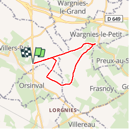

8.4 km | 9.7 km-effort

User


FREE GPS app for hiking
 SityTrail
IGN / Geographical institutes
SityTrail World
The world is yours!
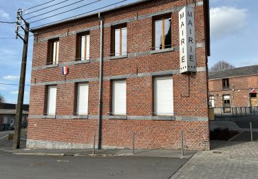
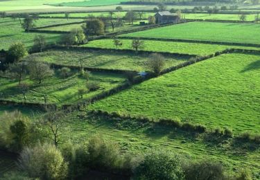
Trail Walking of 9.3 km to be discovered at Hauts-de-France, Nord, Villers-Pol. This trail is proposed by corsinou.
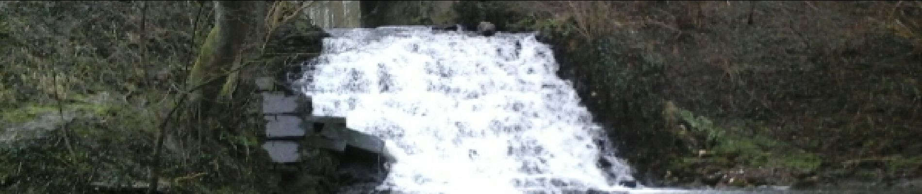
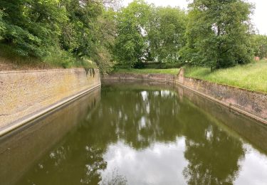
Au départ du restaurant " La Flambée" à Orsinval sur la D934,parking le long du restaurant, ce circuit vous emmène à la Cascade de Quélipont ou se trouvait jadis un moulin, en logeant le Bois de Quélipont et en empruntant une partie du GR 122


Walking
Walking
Walking
Walking
Walking
Walking

Walking
Walking
Walking
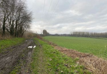
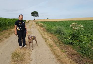
belle ballade, un peu de dénivelé et de chemins à travers champs 😁