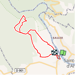


12.6 km | 17 km-effort


User


FREE GPS app for hiking
 SityTrail
IGN / Geographical institutes
SityTrail World
The world is yours!
Trail Walking of 7.7 km to be discovered at Occitania, Gard, Aiguèze. This trail is proposed by tracegps.
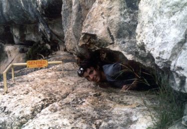
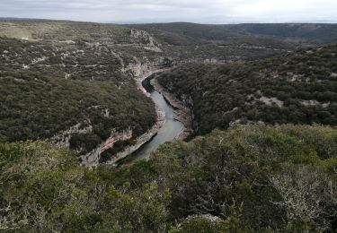
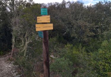
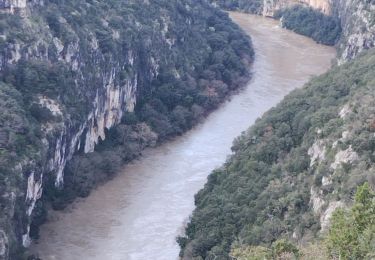
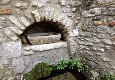
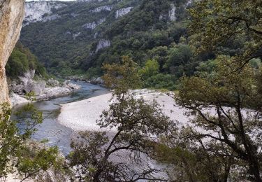
Promenade au village d'Aiguèze, ravissant village de pierre niché au dessus de l'Ardèche, cette balade nous amènera au dessus des Gorges de l'Ardèche et à travers les vignes. D’autres informations et photos sur le site des Balades de Stéphane.

Walking

Walking
Walking

Walking
Walking
Walking