Trail Walking Croisilles - Le tour du Moulin - Croisilles - Photo

Le tour du Moulin - Croisilles

 tracegps
tracegps

User

© OpenStreetMap contributors
Length
Length
3.6 km
Max alt
Max alt
85 m
Uphill gradient
Uphill gradient
35 m
Km-Effort
Km-Effort  
4 km
Min alt
Min alt
65 m
Downhill gradient
Downhill gradient
35 m
Boucle
Boucle
Yes
Creation date :
10/12/2014 00:00
Updated on :
10/12/2014 00:00

(0 Reviews)

Walking
Walking
49m
Difficulty : Easy

Scan this QR Code to open this trail in the SityTrail application

FREE GPS app for hiking

Logo SityTrail SityTrail

IGN / Geographical institutes

Download SityTrail from the App Store Download SityTrail from Google Play

Logo SityTrail SityTrail Plus

The world is yours!

Download SityTrail from the App Store Download SityTrail from Google Play Download SityTrail on Huawei AppGallery

About

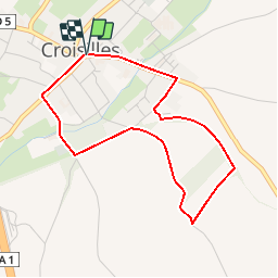
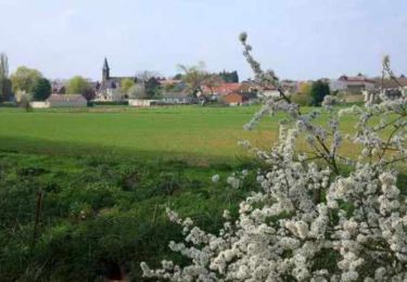
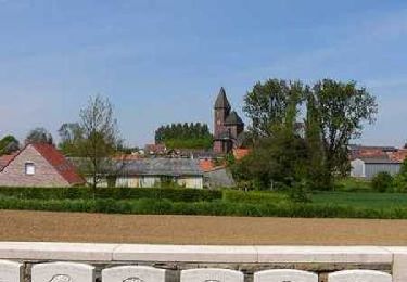
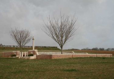
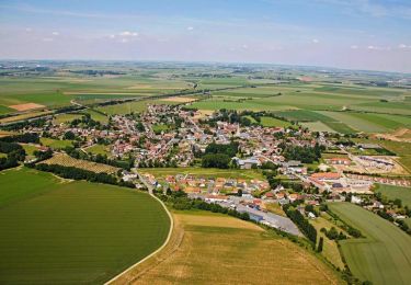
Trail Walking of 3.6 km to be discovered at Hauts-de-France, Pas-de-Calais, Croisilles. This trail is proposed by tracegps.

Description

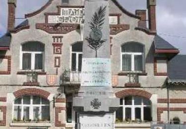
Circuit proposé par la Communauté de Communes du Sud Arrageois. Départ de la place de la mairie de Croisilles. Retrouvez la liste de nos circuits sur notre site Ce circuit a été numérisé par les randonneurs du CODEPEM. Merci à Jean-Marie.

Elevation profile

Photos

Positioning

Country:
France
Region :
Hauts-de-France
Department/Province :
Pas-de-Calais
Municipality :
Croisilles
Location:
Unknown
Start:(UTM)
491362 ; 5560819 (31U) N.


Close
My subscriptions