Trail Equestrian Bonnay - Tour équestre du Haut Charolais - Saint-Ythaire - Suin - Photo

Tour équestre du Haut Charolais - Saint-Ythaire - Suin

 tracegps
tracegps

User

© OpenStreetMap contributors
Length
Length
36 km
Max alt
Max alt
458 m
Uphill gradient
Uphill gradient
904 m
Km-Effort
Km-Effort  
48 km
Min alt
Min alt
213 m
Downhill gradient
Downhill gradient
796 m
Boucle
Boucle
No
Creation date :
2014-12-10 00:00:00.0
Updated on :
2014-12-10 00:00:00.0

(0 Reviews)

Equestrian
Equestrian
6h30
Difficulty : Difficult

Scan this QR Code to open this trail in the SityTrail application

FREE GPS app for hiking

Logo SityTrail SityTrail

IGN / Geographical institutes

Download SityTrail from the App Store Download SityTrail from Google Play

Logo SityTrail SityTrail World

The world is yours!

Download SityTrail from the App Store Download SityTrail from Google Play Download SityTrail on Huawei AppGallery

About

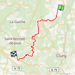
Trail Equestrian of 36 km to be discovered at Bourgogne-Franche-Comté, Saône-et-Loire, Bonnay. This trail is proposed by tracegps.

Description

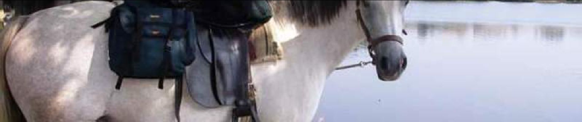
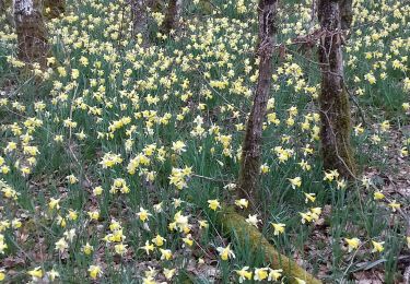
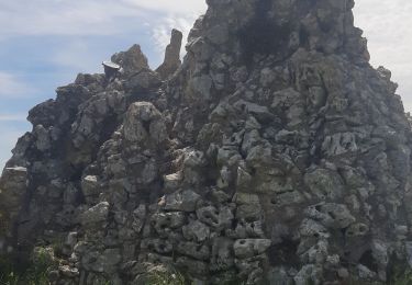
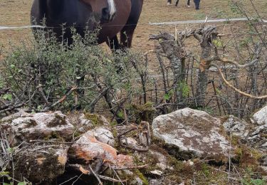
Tour équestre du Haut Charolais - Saint-Ythaire - Suin Dénivelée positive : 935m Dénivelée négative : 829m Traversée de la rivière de la Guye. Traversée de La forêt de feuillus de la Grande Verrière sur 6 km. Contournement ou ascension possible de la butte de Suin à 600m avec vue panoramique à 360° (vue sur le Mont Blanc). Quelques petites sapinières sur la fin du parcours. Majorité de pistes larges au sol sec. Gîte possible à Suin. Circuit promus par le Trot’in Chair , tourisme équestre et chambres d’hôtes. Cet itinéraire est reconnu, entretenu et emprunté par les guides de tourisme équestre ou les randonneurs qu’ils accueillent.

Elevation profile

Photos

Positioning

Country:
France
Region :
Bourgogne-Franche-Comté
Department/Province :
Saône-et-Loire
Municipality :
Bonnay
Location:
Unknown
Start:(UTM)
625364 ; 5158461 (31T) N.

Trails nearby

Trail Walking Saint-Ythaire - Saint Ythaire  Les Jonquilles page 104 - Photo
Walking
grasgilbert

Walking

Medium
(5)
Saint-Ythaire, Bourgogne-Franche-Comté, Saône-et-Loire, France
12.3 km | 17.2 km-effort
3h 36min
Yes
Trail Walking Saint-Ythaire - 2023-03-04_12h49m01_SityTrail - 2356343 - saint-ythaire--les-jonquilles-page-104 - Photo
Walking
jcbossant

Walking

Difficult
(1)
Saint-Ythaire, Bourgogne-Franche-Comté, Saône-et-Loire, France
12.3 km | 17.2 km-effort
3h 54min
Yes
Trail Walking Sigy-le-Châtel - Sigy Le Chatel - Photo
Walking
Bonnefois Bernard

Walking

Easy
(1)
Sigy-le-Châtel, Bourgogne-Franche-Comté, Saône-et-Loire, France
10.7 km | 14 km-effort
3h 11min
Yes
Trail Mountain bike Bonnay - Besanceuil  - Photo
Mountain bike
darrisa

Mountain bike

Medium
(1)
Bonnay, Bourgogne-Franche-Comté, Saône-et-Loire, France
11.2 km | 15.7 km-effort
3h 52min
Yes
Trail Walking Saint-Gengoux-le-National - Jouvencelle 2024 Saint-Gengoux  - Photo
Walking
pensionisten71

Walking

Medium
Saint-Gengoux-le-National, Bourgogne-Franche-Comté, Saône-et-Loire, France
18.6 km | 24 km-effort
4h 52min
Yes
Trail Walking Cormatin - Cormatin - Photo
Walking
pensionisten71

Walking

Medium
Cormatin, Bourgogne-Franche-Comté, Saône-et-Loire, France
21 km | 27 km-effort
4h 30min
Yes
Trail Walking Malay - Malay - Photo
Walking
janussity

Walking

Medium
Malay, Bourgogne-Franche-Comté, Saône-et-Loire, France
8.2 km | 10 km-effort
2h 20min
Yes
Trail Walking Saint-Ythaire - oh! les beaux village - Photo
Walking
margotjl

Walking

Medium
Saint-Ythaire, Bourgogne-Franche-Comté, Saône-et-Loire, France
8.4 km | 11.7 km-effort
2h 28min
Yes
Trail Walking Saint-Gengoux-le-National - Saint Gengoux le National les chaumes page 60 - Photo
Walking
grasgilbert

Walking

Easy
(3)
Saint-Gengoux-le-National, Bourgogne-Franche-Comté, Saône-et-Loire, France
14.1 km | 18.6 km-effort
3h 35min
Yes


Close
My subscriptions