Trail Walking Estérençuby - Le sommet d'Errozaté 1345m - Photo
 tracegps
tracegps

User

© OpenStreetMap contributors
Length
Length
18.1 km
Max alt
Max alt
1313 m
Uphill gradient
Uphill gradient
1272 m
Km-Effort
Km-Effort  
35 km
Min alt
Min alt
330 m
Downhill gradient
Downhill gradient
1272 m
Boucle
Boucle
Yes
Creation date :
2014-12-10 00:00:00.0
Updated on :
2014-12-10 00:00:00.0

(0 Reviews)

Walking
Walking
5h00
Difficulty : Difficult

Scan this QR Code to open this trail in the SityTrail application

FREE GPS app for hiking

Logo SityTrail SityTrail

IGN / Geographical institutes

Download SityTrail from the App Store Download SityTrail from Google Play

Logo SityTrail SityTrail World

The world is yours!

Download SityTrail from the App Store Download SityTrail from Google Play Download SityTrail on Huawei AppGallery

About

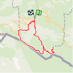
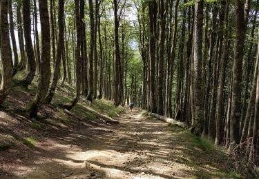
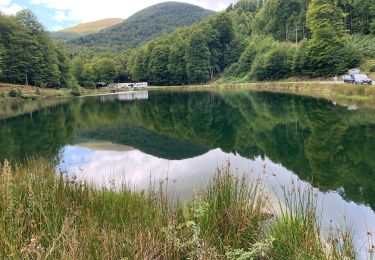
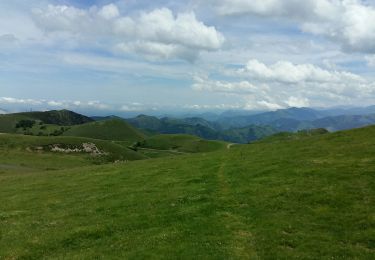
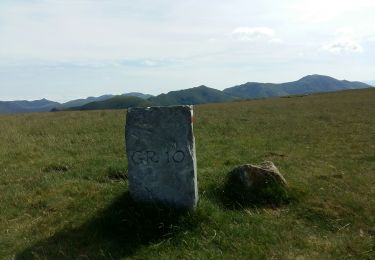
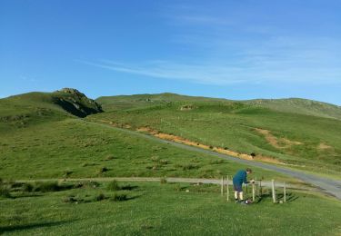
Trail Walking of 18.1 km to be discovered at New Aquitaine, Pyrénées-Atlantiques, Estérençuby. This trail is proposed by tracegps.

Description

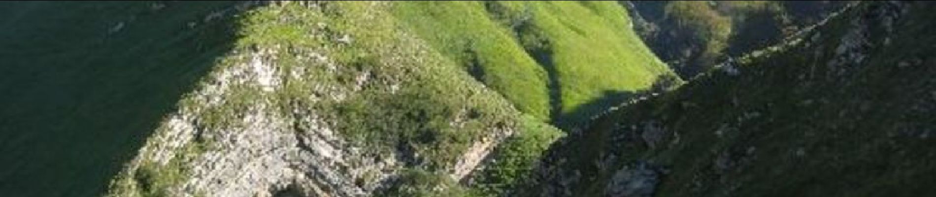
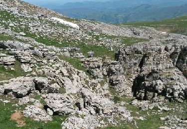
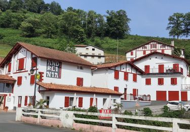
Le sommet d'Errozaté 1345m depuis Béhérobie 330m. Le panorama de pic d'Errozaté est toujours aussi beau malgré la prolifération des pistes dites pastorales que le bitume transforme peu à peu en routes touristiques. D’autres indications, photos et panoramiques sur le site « Les Pyrénées vues par Mariano ».

Elevation profile

Photos

Positioning

Country:
France
Region :
New Aquitaine
Department/Province :
Pyrénées-Atlantiques
Municipality :
Estérençuby
Location:
Unknown
Start:(UTM)
646991 ; 4769994 (30T) N.

Trails nearby

Trail Walking Estérençuby - URCULU 2015 05 12 effectuée - Photo
Walking
DECHAMPD

Walking

Medium
(2)
Estérençuby, New Aquitaine, Pyrénées-Atlantiques, France
12.3 km | 19.6 km-effort
3h 46min
Yes
Trail Walking Estérençuby - GROTTE D'HARPEA - Photo
Walking
PVERTICAL

Walking

Medium
(1)
Estérençuby, New Aquitaine, Pyrénées-Atlantiques, France
12.1 km | 23 km-effort
4h 49min
Yes
Trail sport Lecumberry - Buluntza, Vautours et Milans - Photo
sport
erjot60

sport

Very easy
Lecumberry, New Aquitaine, Pyrénées-Atlantiques, France
4.8 km | 7.2 km-effort
Unknown
Yes
Trail Walking Estérençuby - Esterençuby au col de Ernagako Borda - 6 km de randonnée - Photo
Walking
Marie-Claire-mcp

Walking

Very difficult
Estérençuby, New Aquitaine, Pyrénées-Atlantiques, France
13.3 km | 22 km-effort
5h 4min
No
Trail Walking Saint-Michel - compostelle - camino Frances J2 : de Orisson à Espinal - Photo
Walking
webmammuth

Walking

Medium
Saint-Michel, New Aquitaine, Pyrénées-Atlantiques, France
20 km | 28 km-effort
7h 30min
No
Trail Walking Estérençuby - GR 10 7ème étape : gîte de Kaskoleta - com d’Okabe - chalet Iraty - Photo
Walking
LEGUE

Walking

Difficult
Estérençuby, New Aquitaine, Pyrénées-Atlantiques, France
23 km | 41 km-effort
6h 27min
No
Trail Walking Lecumberry - gr10t - Photo
Walking
GUIDE
marmotte65

Walking

Very difficult
Lecumberry, New Aquitaine, Pyrénées-Atlantiques, France
12 km | 19.6 km-effort
6h 40min
No
Trail Walking Lecumberry - okabe - Photo
Walking
GUIDE
marmotte65

Walking

Very difficult
Lecumberry, New Aquitaine, Pyrénées-Atlantiques, France
12 km | 19.6 km-effort
2h 27min
No
Trail Walking Lecumberry - GRT 8 - Photo
Walking
GUIDE
marmotte65

Walking

Very difficult
Lecumberry, New Aquitaine, Pyrénées-Atlantiques, France
13.3 km | 22 km-effort
37min
Yes


Close
My subscriptions