Trail Walking Charleville-sous-Bois - Randonnée du Haut Chemin - La voie de 60 - Burtoncourt - Photo

Randonnée du Haut Chemin - La voie de 60 - Burtoncourt

 tracegps
tracegps

User

© OpenStreetMap contributors
Length
Length
9.5 km
Max alt
Max alt
348 m
Uphill gradient
Uphill gradient
276 m
Km-Effort
Km-Effort  
13.2 km
Min alt
Min alt
229 m
Downhill gradient
Downhill gradient
276 m
Boucle
Boucle
Yes
Creation date :
2014-12-10 00:00:00.0
Updated on :
2014-12-10 00:00:00.0

(1 Reviews)

Walking
Walking
2h00
Difficulty : Medium

Scan this QR Code to open this trail in the SityTrail application

FREE GPS app for hiking

Logo SityTrail SityTrail

IGN / Geographical institutes

Download SityTrail from the App Store Download SityTrail from Google Play

Logo SityTrail SityTrail World

The world is yours!

Download SityTrail from the App Store Download SityTrail from Google Play Download SityTrail on Huawei AppGallery

About

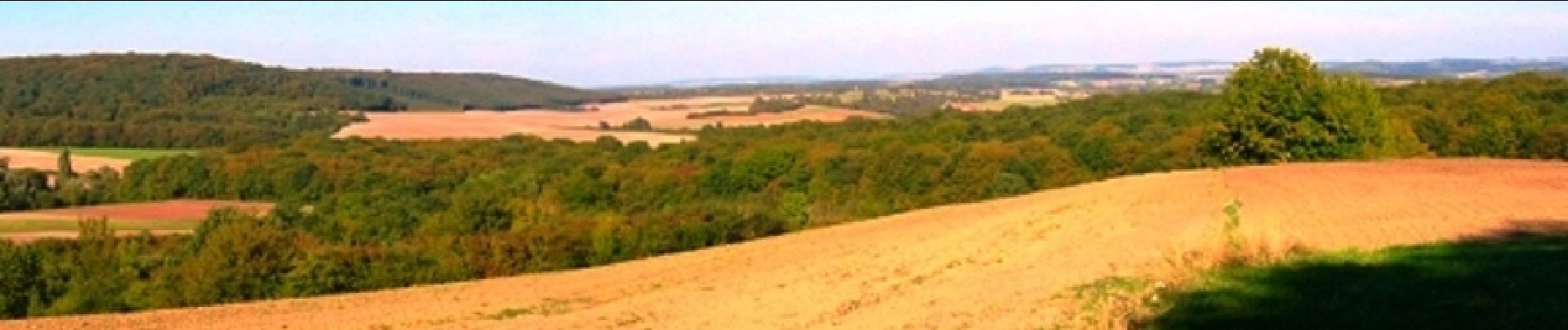
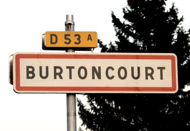
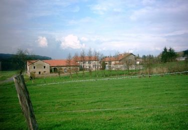
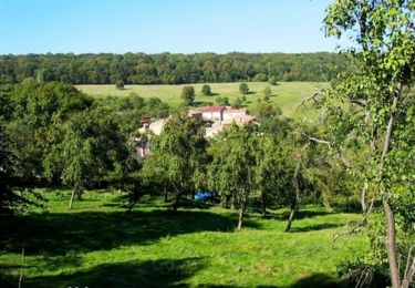
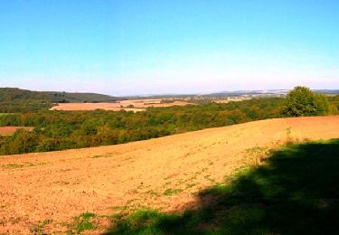
Trail Walking of 9.5 km to be discovered at Grand Est, Moselle, Charleville-sous-Bois. This trail is proposed by tracegps.

Description

Très agréable balade sur le tracé d'une ancienne voie ferrée qui servait au ravitaillement des ouvrages de la Ligne Maginot situés plus à l'est. Retrouvez la fiche de cette randonnée sur le site du Tourisme en Moselle.

Elevation profile

Photos

Positioning

Country:
France
Region :
Grand Est
Department/Province :
Moselle
Municipality :
Charleville-sous-Bois
Location:
Unknown
Start:(UTM)
309178 ; 5455109 (32U) N.

Comments

Please log in to post a review or rate the element


3/4 de la rando super, le reste est ravagé par les forestiers avec leurs engins.


Trails nearby

Trail On foot Burtoncourt - Circuit La voie de 60 - Photo
On foot
PRO

On foot

Easy
Burtoncourt, Grand Est, Moselle, France
7.4 km | 10 km-effort
2h 16min
Yes
Trail On foot Saint-Hubert - Circuit le Chene des Moines - Photo
On foot
PRO

On foot

Easy
Saint-Hubert, Grand Est, Moselle, France
7.3 km | 9.2 km-effort
2h 6min
No
Trail Walking Saint-Hubert - St Hubert -arbre de l’année 2022 - Photo
Walking
patign

Walking

Saint-Hubert, Grand Est, Moselle, France
11 km | 14.2 km-effort
2h 39min
Yes
Trail On foot Saint-Hubert - Circuit la source Charlemagne - Photo
On foot
PRO

On foot

Easy
Saint-Hubert, Grand Est, Moselle, France
6.7 km | 8.8 km-effort
1h 59min
No
Trail Mountain bike Saint-Hubert - Randonnée du Haut Chemin - La source de Charlemagne - Villers Bettnach - Photo
Mountain bike
tracegps

Mountain bike

Medium
Saint-Hubert, Grand Est, Moselle, France
11.2 km | 14.6 km-effort
1h 0min
Yes
Trail Walking Saint-Hubert - Randonnée du Haut Chemin - La source de Charlemagne - Villers Bettnach - Photo
Walking
tracegps

Walking

Medium
(1)
Saint-Hubert, Grand Est, Moselle, France
11.2 km | 14.6 km-effort
3h 19min
Yes
Trail Mountain bike Saint-Hubert - Randonnée du Haut Chemin - Le chêne des Moines - Villers Bettnach - Photo
Mountain bike
tracegps

Mountain bike

Easy
Saint-Hubert, Grand Est, Moselle, France
6.8 km | 8.7 km-effort
30min
Yes
Trail Walking Saint-Hubert - Randonnée du Haut Chemin - Le chêne des Moines - Villers Bettnach - Photo
Walking
tracegps

Walking

Medium
Saint-Hubert, Grand Est, Moselle, France
6.8 km | 8.7 km-effort
1h 30min
Yes
Trail Mountain bike Charleville-sous-Bois - Randonnée du Haut Chemin - La voie de 60 - Burtoncourt - Photo
Mountain bike
tracegps

Mountain bike

Medium
Charleville-sous-Bois, Grand Est, Moselle, France
9.5 km | 13.2 km-effort
40min
Yes


Close
My subscriptions