


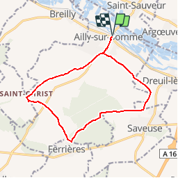

10.6 km | 11.8 km-effort


User


FREE GPS app for hiking
 SityTrail
IGN / Geographical institutes
SityTrail World
The world is yours!
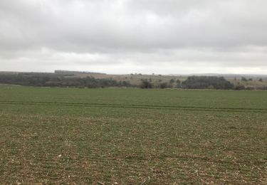
Trail Walking of 13 km to be discovered at Hauts-de-France, Somme, Ailly-sur-Somme. This trail is proposed by tracegps.
Circuit proposé par l’Office de Tourisme de l’Ouest Amiénois. Départ de la gare d’Ailly-sur-Somme. Ce circuit a été numérisé par les randonneurs du CODEPEM. Merci à Jean-Marie.


Walking

Walking
Walking
On foot

Mountain bike
Walking
Walking
Walking
Other activity
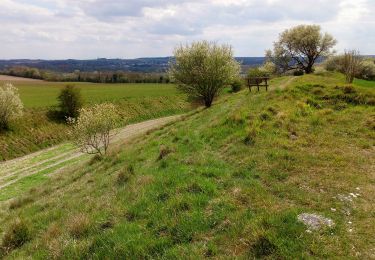
rando qui peut commencer au collège : la route qui mène de la place au collège est très passante. les voitures vont trop vite. Certains chemins sont défoncés par les engins agricoles, les quad, les motos et les véhicules des exploitants forestiers. ce n'est pas agréable.