


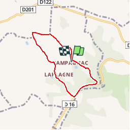

16.3 km | 24 km-effort


User


FREE GPS app for hiking
 SityTrail
IGN / Geographical institutes
SityTrail World
The world is yours!
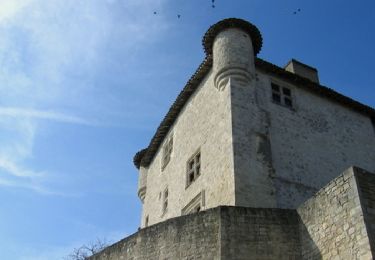
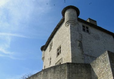
Trail Walking of 5.6 km to be discovered at New Aquitaine, Lot-et-Garonne, Engayrac. This trail is proposed by tracegps.
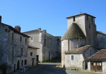
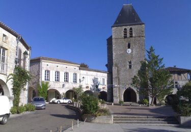
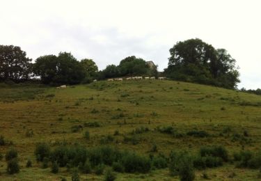
Campagnac commune d’Engayrac Cté Com. Coteaux de Beauville Ce petit circuit facile, comporte néanmoins quelques côtes à fort pourcentage, agrémenté de passages ombragés et de quelques larges ouvertures sur les coteaux environnants. Téléchargez la fiche de cette randonnée sur le site du Tourisme du Lot et Garonne.

Equestrian

Mountain bike
Walking

Mountain bike
Walking

Mountain bike
Equestrian
Mountain bike

Walking