


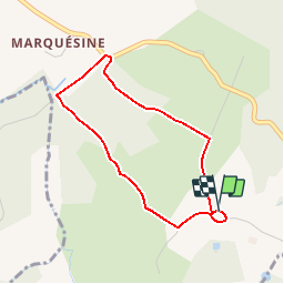

8.2 km | 11.1 km-effort

User


FREE GPS app for hiking
 SityTrail
IGN / Geographical institutes
SityTrail World
The world is yours!
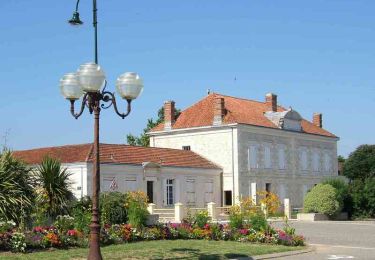
Trail Walking of 3.4 km to be discovered at New Aquitaine, Lot-et-Garonne, Cocumont. This trail is proposed by tracegps.
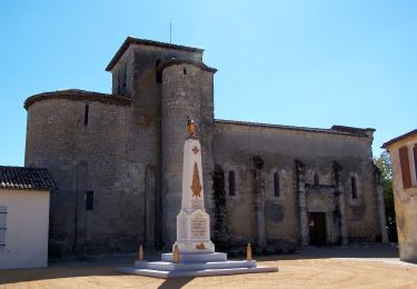
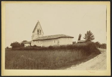
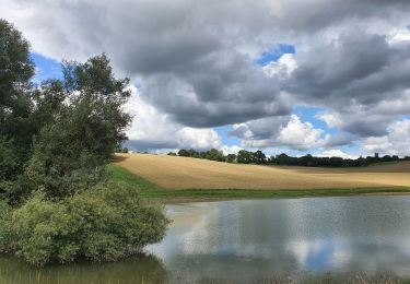
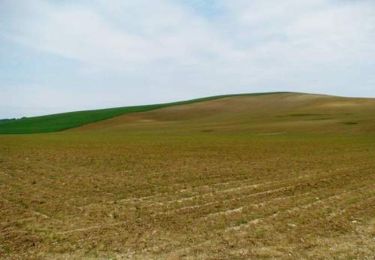
Goutx commune de Cocumont Cté de Com. Val de Garonne. Cette petite boucle prend son envol du site panoramique de l’église de Goutx qui permet de découvrir la vallée de la Garonne de La Réole en Gironde à Beaupuy, coteau dominant la ville de Marmande. Le hameau de « Goutz » quasiment déserté après la guerre de 1914/1918, fut repeuplé au coeur des années 1920 par des immigrants italiens. Le comité des fêtes « Goutsois » organise chaque année une gigantesque « soirée spaghetti » où se retrouvent plusieurs centaines de convives, dont la plupart sont d’origine transalpine… Téléchargez la fiche de cette randonnée sur le site du Tourisme du Lot et Garonne.

On foot
On foot
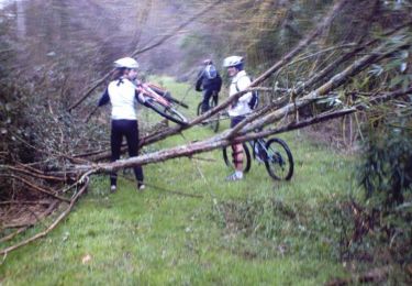
Mountain bike
Mountain bike
Mountain bike

Walking
Equestrian

Mountain bike

Walking