


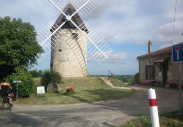
7.9 km | 8.2 km-effort


User


FREE GPS app for hiking
 SityTrail
IGN / Geographical institutes
SityTrail World
The world is yours!
Trail Walking of 3.4 km to be discovered at New Aquitaine, Lot-et-Garonne, Sainte-Bazeille. This trail is proposed by tracegps.
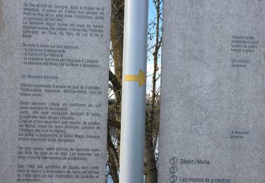
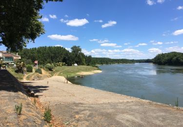
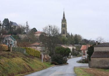
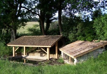
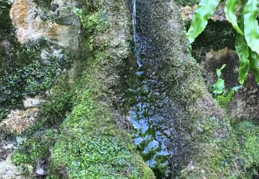
Sainte Bazeille Communauté de Communes Val de Garonne. Les traces de Sainte-Bazeille remontent au Néolithique. Les nombreuses fouilles et découvertes, exposées au musée du village, en font un lieu archéologique incontournable dans la moyenne Garonne. Ce parcours vous fera découvrir, au fil de 7 panneaux thématiques, les richesses historiques et naturelles de cette cité. Téléchargez la fiche de cette randonnée sur le site du Tourisme du Lot et Garonne.

Walking
Walking

Walking
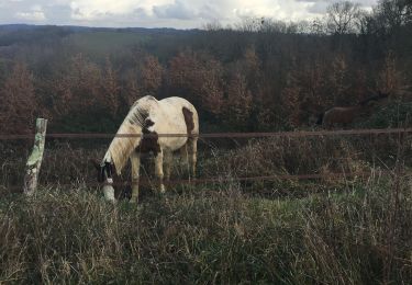
Equestrian
Mountain bike

Walking
Walking
Walking
Equestrian