


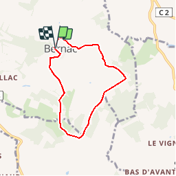

13 km | 15.8 km-effort

User


FREE GPS app for hiking
 SityTrail
IGN / Geographical institutes
SityTrail World
The world is yours!
Trail Walking of 6 km to be discovered at New Aquitaine, Lot-et-Garonne, Loubès-Bernac. This trail is proposed by tracegps.
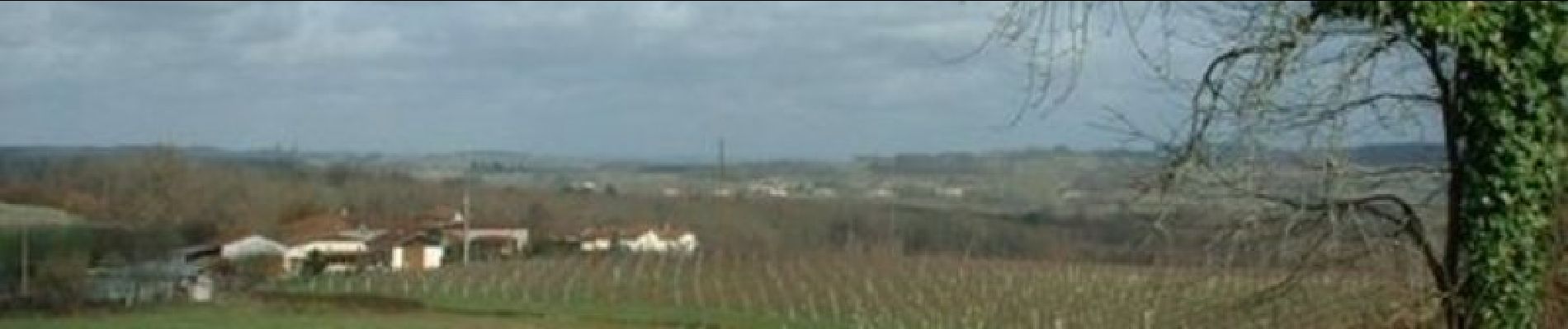
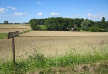
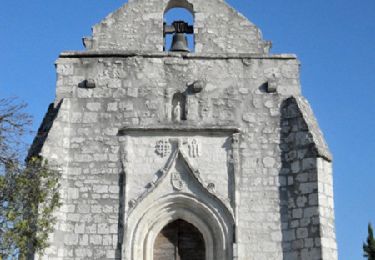
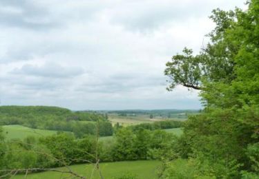
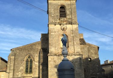
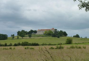
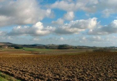
Bernac / Mont d’Or Com. de Loubès Bernac C. C. du Pays de Duras. Ce circuit situé au sud-ouest de la commune de Loubès-Bernac se déroule à travers les vignes des Côtes de Duras et les bois qui marquent la limite des départements de Dordogne et de Lot-et-Garonne. Téléchargez la fiche de cette randonnée sur le site du Tourisme du Lot et Garonne.


Equestrian

Mountain bike
Walking
Mountain bike
Walking
On foot
On foot
Equestrian

Mountain bike