


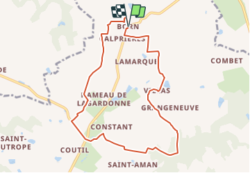

14.4 km | 17.2 km-effort


User


FREE GPS app for hiking
 SityTrail
IGN / Geographical institutes
SityTrail World
The world is yours!
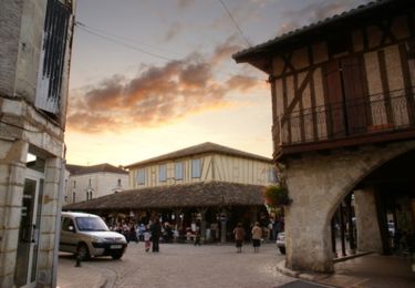
Trail Walking of 9.3 km to be discovered at New Aquitaine, Lot-et-Garonne, Saint-Eutrope-de-Born. This trail is proposed by tracegps.
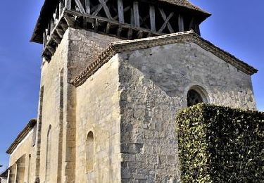
Born Commune de St Eutrope de Born Cté Com. du Villeréalais. Cette petite randonnée, au départ d’un des trois bourgs de Saint-Eutrope-de-Born, relie ce hameau aux bois de la Demoiselle et de St-Paul, parcourus par le GR® 636, dénommé « Traversée du Périgord ». Téléchargez la fiche de cette randonnée sur le site du Tourisme du Lot et Garonne.


Mountain bike
Walking
Walking
Cycle

Equestrian

Mountain bike
Walking
Equestrian

Mountain bike