


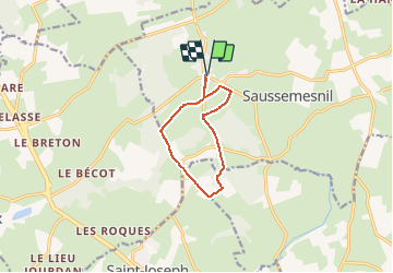


6.6 km | 8.7 km-effort

User


FREE GPS app for hiking
 SityTrail
IGN / Geographical institutes
SityTrail World
The world is yours!
Trail Walking of 8.2 km to be discovered at Normandy, Manche, Saussemesnil. This trail is proposed by tracegps.
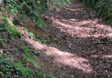
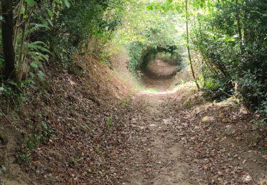
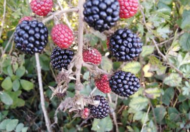
Autour de Rochemont « Promenons-nous dans les bois… » Balade facile à faire en famille en racontant aux enfants la longue histoire de l’ancienne forêt de Brix, qui débute dès le Xème siècle par d’importants défrichements. Elle était en partie propriété des Rois de France, jusqu’à ce que Louis XV décide de s’en défaire. Elle a alors été séparée. Ce circuit est jalonné des vestiges de cette forêt. Plus de détails sur le circuit (balisage, difficulté…), les points remarquables à proximité et téléchargements sur Manche Tourisme – Loisirs Randonnée GPS.

Walking

Mountain bike

Mountain bike

Mountain bike

Mountain bike

Walking
Walking
Mountain bike