


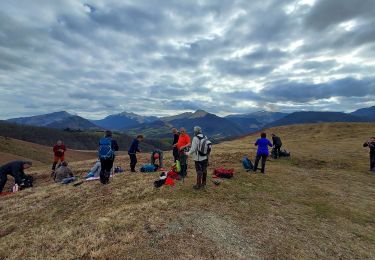
11.1 km | 16 km-effort

User


FREE GPS app for hiking
 SityTrail
IGN / Geographical institutes
SityTrail World
The world is yours!
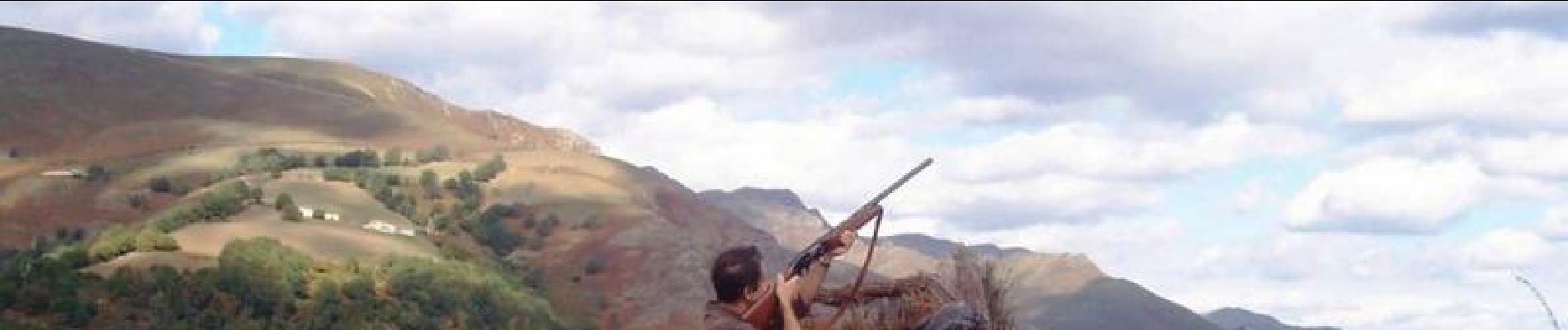
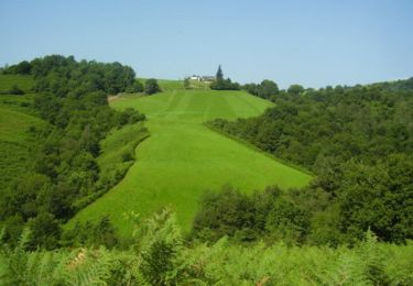
Trail Walking of 7.7 km to be discovered at New Aquitaine, Pyrénées-Atlantiques, Lanne-en-Barétous. This trail is proposed by tracegps.
Belle boucle autour du village de Lanne en Barétous qui entoure le Camp de la Salière et donne accès à la chasse traditionnelle de la palombe: la chasse aux filets. Retrouvez d’autres informations et la fiche descriptive sur le site Pays Basque et Béarn.

Walking
Walking

On foot
On foot
Walking
Walking
Walking
Walking

Walking
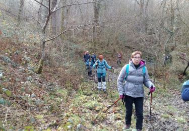
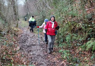
tres belle ballade ombragee le long du ruisseau. nous avons adores!