


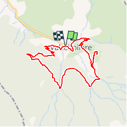

11.8 km | 18.2 km-effort


User


FREE GPS app for hiking
 SityTrail
IGN / Geographical institutes
SityTrail World
The world is yours!
Trail Snowshoes of 9.9 km to be discovered at Occitania, Pyrénées-Orientales, Valcebollère. This trail is proposed by tracegps.
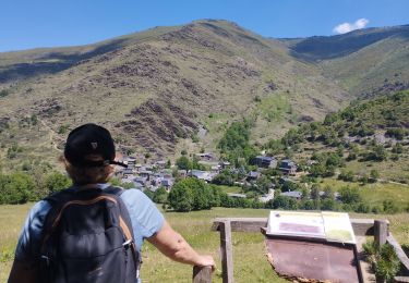
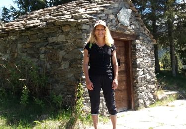
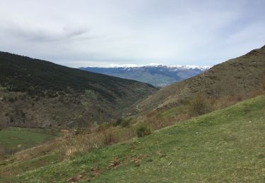
Une randonnée raquette en boucle pour aller à la Chapelle de St Barnabé depuis Valcebollère.


Walking
Walking
Walking
Walking

Walking
Walking
Snowshoes
Walking
Walking