


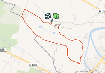

10.2 km | 12.7 km-effort

User


FREE GPS app for hiking
 SityTrail
IGN / Geographical institutes
SityTrail World
The world is yours!
Trail Walking of 4.4 km to be discovered at New Aquitaine, Lot-et-Garonne, Lavardac. This trail is proposed by tracegps.
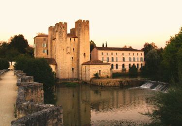
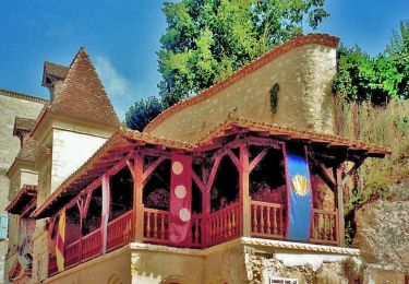
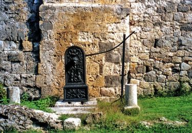
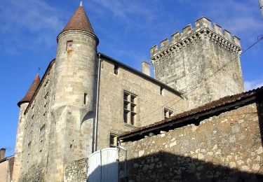
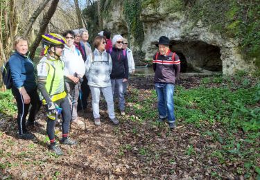
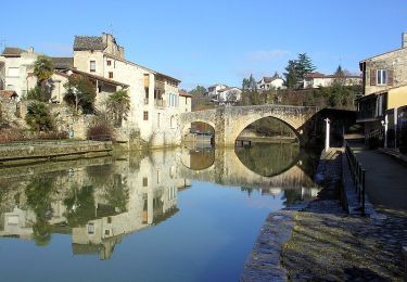
Estussan, balade panoramique en Albret - Pays d'Albret. Estussan commune de Lavardac Cté Com. du Val d’Albret. Cette petite balade qui domine les vallées de la Gélise et de la Baïse, offre de nombreux points de vue sur le château de Xaintrailles, la bastide de Lavardac, le Moulin des Tours Henri IV, le village de Barbaste et au second plan, Nérac, la capitale de l’Albret et la forêt landaise. Téléchargez la fiche de cette randonnée sur le site du Tourisme du Lot et Garonne.


Walking
On foot
On foot
On foot
On foot
On foot
Walking
Walking
Walking