


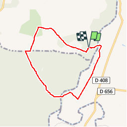

10.2 km | 12.7 km-effort

User


FREE GPS app for hiking
 SityTrail
IGN / Geographical institutes
SityTrail World
The world is yours!
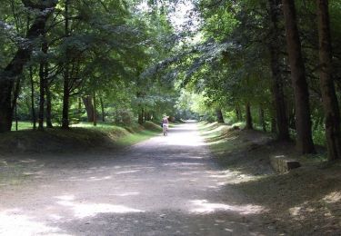
Trail Walking of 6.8 km to be discovered at New Aquitaine, Lot-et-Garonne, Barbaste. This trail is proposed by tracegps.
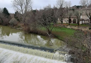
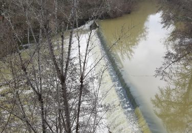
Cauderoue et Ste-Catherine, les pieds dans la Gélise - Pays d'Albret. Cauderoue / Ste Catherine Cté de Communes du Val d’Albret Cette petite boucle, prend son envol dans la plaine fertile, irriguée par la Gélise. Après le moulin de Ste-Catherine, il s’enfonce dans la forêt plantée principalement de pins et de chênes. Téléchargez la fiche de cette randonnée sur le site du Tourisme du Lot et Garonne.


Walking
On foot
On foot
Walking
Walking

Walking
Walking
Walking
Mountain bike
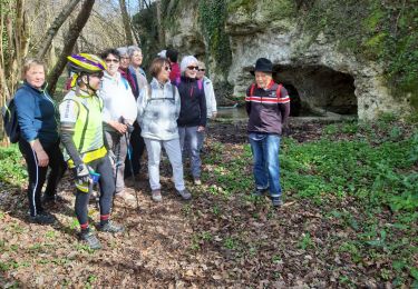
belle baladedans les bois.