


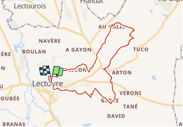

18.8 km | 24 km-effort

User


FREE GPS app for hiking
 SityTrail
IGN / Geographical institutes
SityTrail World
The world is yours!
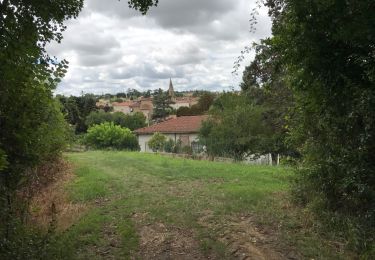
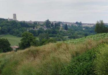
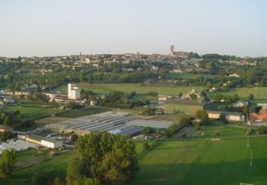
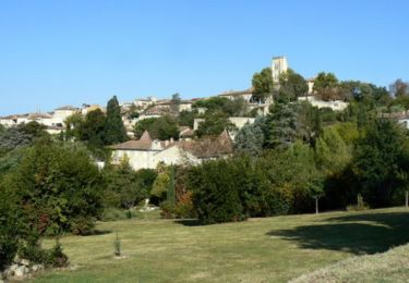
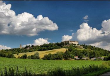
Trail Walking of 17.9 km to be discovered at Occitania, Gers, Lectoure. This trail is proposed by tracegps.
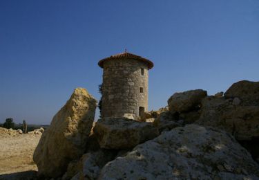
Les Galis – Lectoure Départ de la Tour du Bourreau. Vallée de l’Auroue, les demeures rurales, les bois de Gajan et du Ramier… Circuit numérisé par la Communauté de Communes de la Lomagne Gersoise.


Walking
Walking
Walking

Walking
Walking
Walking
Walking
Walking
Walking