


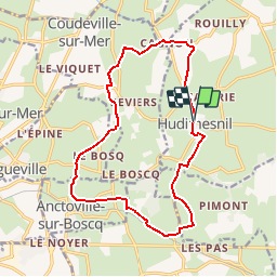

51 km | 61 km-effort


User


FREE GPS app for hiking
 SityTrail
IGN / Geographical institutes
SityTrail World
The world is yours!
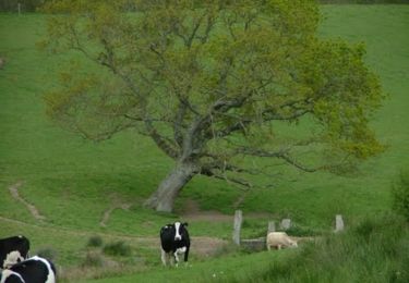
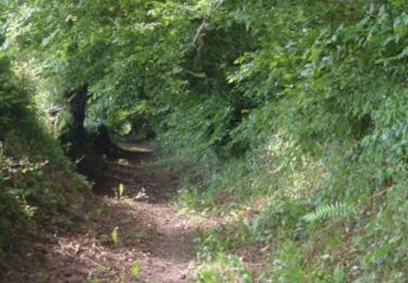
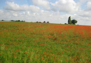
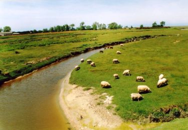
Trail Walking of 14.8 km to be discovered at Normandy, Manche, Hudimesnil. This trail is proposed by tracegps.
Longue balade entre le Ruisseau du Bosq et la Vanlée

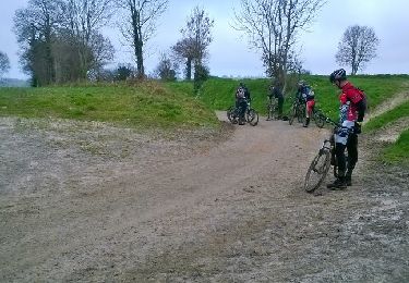
Mountain bike
Mountain bike

Mountain bike
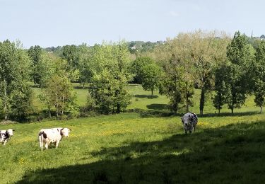
Walking
Walking
Walking
Walking
Walking

Walking
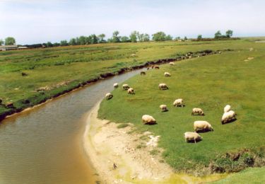
À éviter. Chemin non entretenu.