


11.9 km | 17.3 km-effort

User


FREE GPS app for hiking
 SityTrail
IGN / Geographical institutes
SityTrail World
The world is yours!
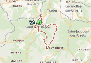
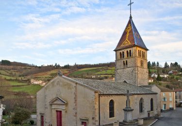
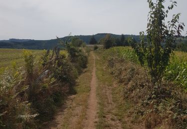
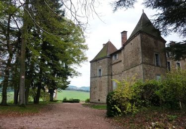
Trail Walking of 11.9 km to be discovered at Auvergne-Rhône-Alpes, Rhône, Deux-Grosnes. This trail is proposed by tracegps.
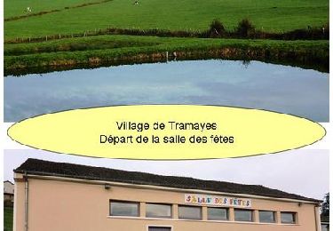
Attention circuit non balisé. Départ de l’église de St-Christophe-la-Montagne. Pour plus d'informations sur ce circuit et télécharger son fichier PDF, cliquez ICI
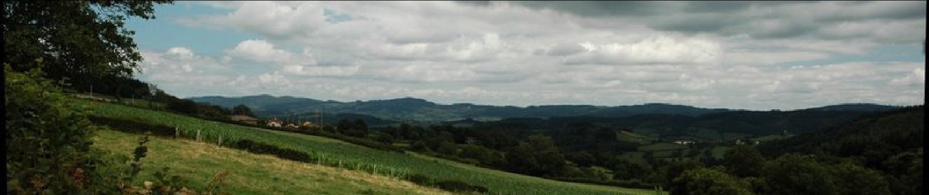
 - Photo 1")
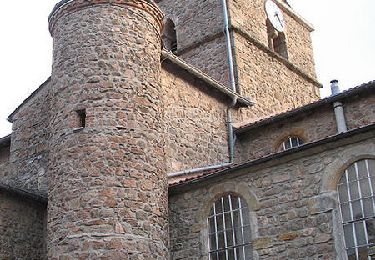
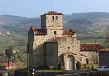
 - Photo 2")
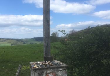
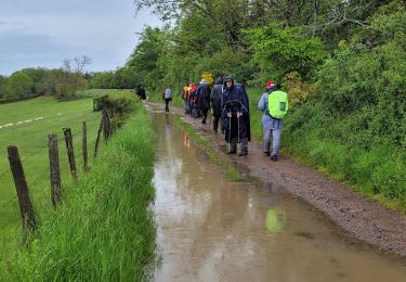
 - Photo 3")
Walking
Walking
On foot
On foot
Walking
Walking
Running
Mountain bike
Mountain bike