Trail Walking Meymac - Le toit du Limousin 19 km - Meymac - Pays de Haute Corrèze  - Photo

Le toit du Limousin 19 km - Meymac - Pays de Haute Corrèze

 tracegps
tracegps

User

© OpenStreetMap contributors
Length
Length
19 km
Max alt
Max alt
971 m
Uphill gradient
Uphill gradient
544 m
Km-Effort
Km-Effort  
26 km
Min alt
Min alt
641 m
Downhill gradient
Downhill gradient
551 m
Boucle
Boucle
Yes
Creation date :
2014-12-10 00:00:00.0
Updated on :
2014-12-10 00:00:00.0

(2 Reviews)

Walking
Walking
4h30
Difficulty : Difficult

Scan this QR Code to open this trail in the SityTrail application

FREE GPS app for hiking

Logo SityTrail SityTrail

IGN / Geographical institutes

Download SityTrail from the App Store Download SityTrail from Google Play

Logo SityTrail SityTrail World

The world is yours!

Download SityTrail from the App Store Download SityTrail from Google Play Download SityTrail on Huawei AppGallery

About

Trail Walking of 19 km to be discovered at New Aquitaine, Corrèze, Meymac. This trail is proposed by tracegps.

Description

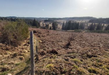
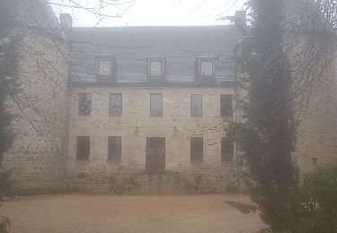
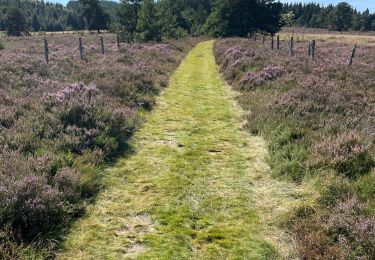
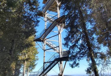
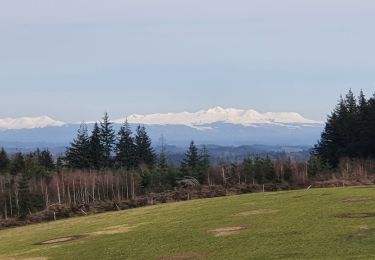
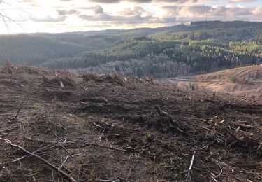
Le toit du Limousin 19 km - Meymac - Pays de Haute Corrèze Élevez vous sur la Montagne Limousine et venez découvrir cet océan de nature parsemé d’une multitude de petits villages pittoresques. Gravissez les chemins et observez au travers d’immenses fenêtres, percées au gré des coupes forestières, les horizons lointains qui s’ouvrent sur les Monts d’Auvergne, avec eu premier plan, les hauts plateaux Corréziens et les innombrables vallées où glissent les rivières… Descendez explorer les fonds humides où depuis des millénaires se « fabriquent » les tourbières. Tournez la tête à droite, à gauche, ici rien n’est pareil, ici tout est grandiose, ici vous respirez. Téléchargez la fiche du circuit sur le site du Conseil Général de la Corrèze. Renseignements : Office de Tourisme de Meymac 05.55.95.18.43

Elevation profile

Photos

Positioning

Country:
France
Region :
New Aquitaine
Department/Province :
Corrèze
Municipality :
Meymac
Location:
Unknown
Start:(UTM)
431704 ; 5046940 (31T) N.

Comments

Please log in to post a review or rate the element


Très belle rando.


belle balade pas très difficile, beaux panoramas mais il faut aimer les forêts de Douglas. un peu trop de goudron à mon goût ce qui justifie **


Trails nearby

Trail Walking Saint-Merd-les-Oussines - Le sentier des bruyères - Photo
Walking
Indi34

Walking

Medium
(1)
Saint-Merd-les-Oussines, New Aquitaine, Corrèze, France
8 km | 9.6 km-effort
2h 0min
Yes
Trail Walking Saint-Merd-les-Oussines - Autour de la Tourbière - Photo
Walking
Jethro Gene

Walking

Easy
(2)
Saint-Merd-les-Oussines, New Aquitaine, Corrèze, France
7.7 km | 9.4 km-effort
1h 38min
Yes
Trail Walking Meymac - Lestrade-La Vialle-Le Colomby - Photo
Walking
viam19

Walking

Easy
Meymac, New Aquitaine, Corrèze, France
13.2 km | 18.3 km-effort
5h 8min
Yes
Trail Walking Meymac - Meymac_Davignac - Photo
Walking
viam19

Walking

Medium
Meymac, New Aquitaine, Corrèze, France
14.1 km | 18 km-effort
3h 24min
No
Trail sport Saint-Merd-les-Oussines - Longeyroux Les Oussines - Photo
sport
hl44lv

sport

Very easy
Saint-Merd-les-Oussines, New Aquitaine, Corrèze, France
19.3 km | 24 km-effort
Unknown
Yes
Trail Walking Meymac - Tour du Mont Bessou. - Photo
Walking
Indi34

Walking

Easy
Meymac, New Aquitaine, Corrèze, France
3.4 km | 4.9 km-effort
1h 0min
No
Trail Walking Meymac - Montagne du Cloup, les Farges - Photo
Walking
viam19

Walking

Medium
Meymac, New Aquitaine, Corrèze, France
13.8 km | 19.1 km-effort
4h 36min
Yes
Trail Walking Meymac - Puy Baubière - Photo
Walking
famille.scharf

Walking

Medium
Meymac, New Aquitaine, Corrèze, France
6.3 km | 9.2 km-effort
2h 15min
Yes
Trail Walking Saint-Merd-les-Oussines - Correze Mille Vache Longeyroux - Photo
Walking
hl44lv

Walking

Very easy
(1)
Saint-Merd-les-Oussines, New Aquitaine, Corrèze, France
8 km | 9.9 km-effort
2h 36min
Yes


Close
My subscriptions