


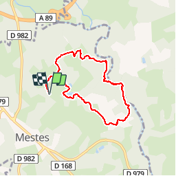

8.1 km | 9.8 km-effort

User


FREE GPS app for hiking
 SityTrail
IGN / Geographical institutes
SityTrail World
The world is yours!
Trail Walking of 6.8 km to be discovered at New Aquitaine, Corrèze, Mestes. This trail is proposed by tracegps.
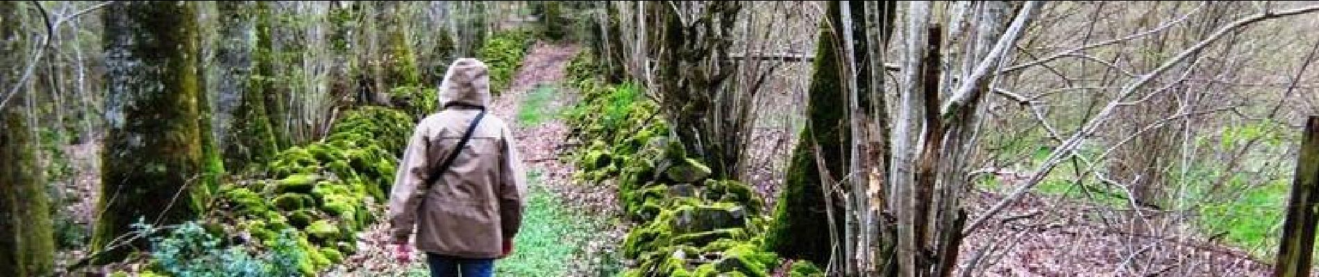
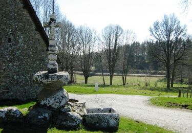
La Bujada - Mestes - Pays de Haute Corrèze Au bord du ruisseau, tout prés du lavoir ou du fournil, laisser vous compter la bugeade ….. la grande lessive, organisée 2 à 3 fois l’année, était l’occasion de mettre en œuvre une multitude de pratiques sociales et rituelles afin de lutter contre nombre de croyances païennes … Téléchargez la fiche du circuit sur le site du Conseil Général de la Corrèze. Renseignements à l’Office de Tourisme d’Ussel ; 05.55.72.11.50


Walking
Mountain bike

Walking

Mountain bike