


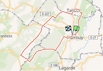

7 km | 8.7 km-effort


User


FREE GPS app for hiking
 SityTrail
IGN / Geographical institutes
SityTrail World
The world is yours!
Trail Walking of 9.3 km to be discovered at Occitania, Hautespyrenees, Siarrouy. This trail is proposed by tracegps.
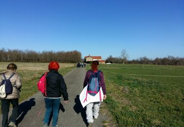
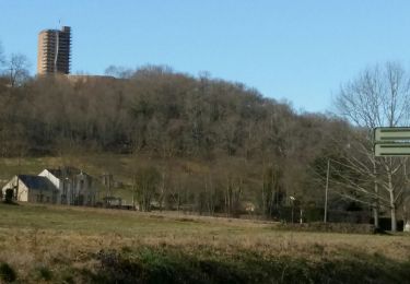
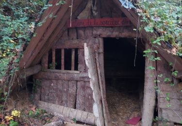
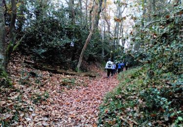
Circuit proposé par la communauté de communes de Vic-Montaner et l'Office de Tourisme de Vic-Montaner. Départ près du foyer rural de Siarrouy. Cette agréable balade d'abord en plaine puis en forêts et collines vous offrira un panorama depuis le sommet de la colline, la vallée de la Géline, et les maisons pittoresques de Talazac et de Siarrouy. Retrouvez le circuit et son descriptif sur le site de l'office de Tourisme de Vic-Montaner.


On foot
Walking

Walking
On foot
Walking
Nordic walking

Mountain bike
Walking
Walking