Trail Mountain bike Saint-Médard-sur-Ille - Sentier du Bois de Cranne -  Saint-Médard-sur-Ille - Photo

Sentier du Bois de Cranne - Saint-Médard-sur-Ille

 tracegps
tracegps

User

© OpenStreetMap contributors
Length
Length
14.6 km
Max alt
Max alt
116 m
Uphill gradient
Uphill gradient
169 m
Km-Effort
Km-Effort  
16.9 km
Min alt
Min alt
49 m
Downhill gradient
Downhill gradient
169 m
Boucle
Boucle
Yes
Creation date :
2014-12-10 00:00:00.0
Updated on :
2014-12-10 00:00:00.0

(1 Reviews)

Mountain bike
Mountain bike
1h19
Difficulty : Easy

Scan this QR Code to open this trail in the SityTrail application

FREE GPS app for hiking

Logo SityTrail SityTrail

IGN / Geographical institutes

Download SityTrail from the App Store Download SityTrail from Google Play

Logo SityTrail SityTrail World

The world is yours!

Download SityTrail from the App Store Download SityTrail from Google Play Download SityTrail on Huawei AppGallery

About

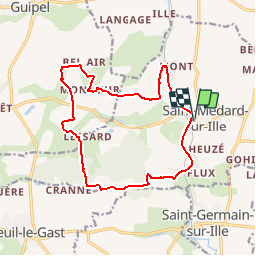
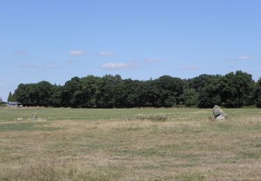
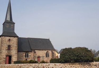
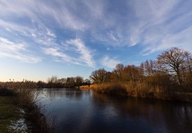
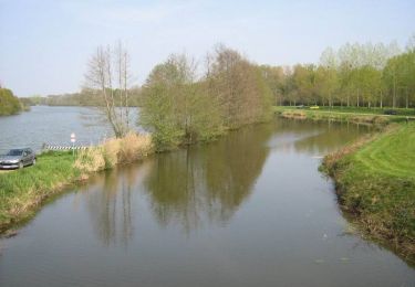
Trail Mountain bike of 14.6 km to be discovered at Brittany, Ille-et-Vilaine, Saint-Médard-sur-Ille. This trail is proposed by tracegps.

Description

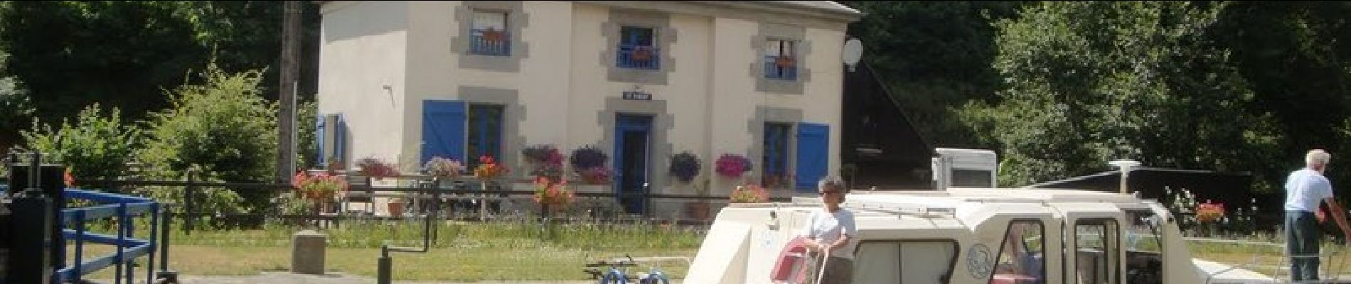
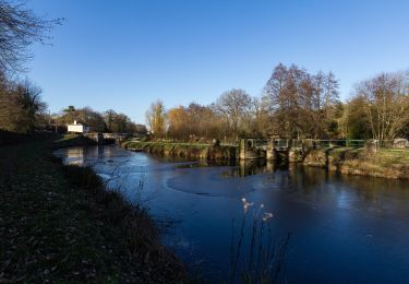
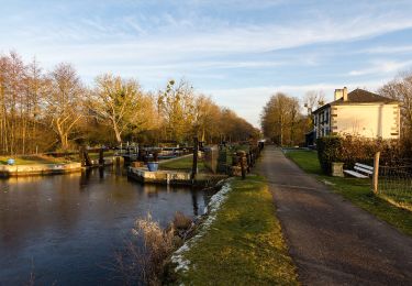
Circuit proposé par la Communauté de Communes du Val d’Ille. Départ de l'écluse de Saint-Médard-sur-Ille. Le parcours permet de longer une partie du canal. Retrouvez la fiche du circuit sur le site de la communauté de communes du Val d’Ille.

Elevation profile

Photos

Positioning

Country:
France
Region :
Brittany
Department/Province :
Ille-et-Vilaine
Municipality :
Saint-Médard-sur-Ille
Location:
Unknown
Start:(UTM)
599131 ; 5347430 (30U) N.

Comments

Please log in to post a review or rate the element


très beau parcours, très technique en hivers! prévoir un équipement complet pour la boue et l'eau...


Trails nearby

Trail Walking Saint-Germain-sur-Ille - Sentier des Roches -  Saint-Germain-sur-Ille - Photo
Walking
tracegps

Walking

Medium
(1)
Saint-Germain-sur-Ille, Brittany, Ille-et-Vilaine, France
9.2 km | 11.3 km-effort
2h 19min
Yes
Trail On foot Saint-Médard-sur-Ille - Le Bois de Cranne - Photo
On foot
PRO

On foot

Easy
Saint-Médard-sur-Ille, Brittany, Ille-et-Vilaine, France
14.4 km | 16.6 km-effort
3h 45min
Yes
Trail On foot Montreuil-le-Gast - La Fosse du Loup - Photo
On foot
PRO

On foot

Medium
Montreuil-le-Gast, Brittany, Ille-et-Vilaine, France
18.3 km | 21 km-effort
4h 51min
Yes
Trail On foot Saint-Médard-sur-Ille - Circuit de Saint-Médard - Photo
On foot
PRO

On foot

Easy
Saint-Médard-sur-Ille, Brittany, Ille-et-Vilaine, France
10.2 km | 11.9 km-effort
2h 41min
Yes
Trail On foot Guipel - Circuit de la Plousière - Photo
On foot
PRO

On foot

Easy
Guipel, Brittany, Ille-et-Vilaine, France
7 km | 7.7 km-effort
1h 44min
Yes
Trail On foot Guipel - Sentier de la Normandière - Photo
On foot
PRO

On foot

Easy
Guipel, Brittany, Ille-et-Vilaine, France
10.5 km | 11.5 km-effort
2h 36min
Yes
Trail Walking Montreuil-sur-Ille - GR_37_BE_32_Montreuil-Sur-Ille_St-Symphorien_20220319 - Photo
Walking
patrickdanilo

Walking

Easy
Montreuil-sur-Ille, Brittany, Ille-et-Vilaine, France
15 km | 17.4 km-effort
3h 25min
No
Trail On foot Guipel - Sentier des Guipellois - Photo
On foot
PRO

On foot

Easy
Guipel, Brittany, Ille-et-Vilaine, France
5 km | 5.3 km-effort
1h 12min
No
Trail Mountain bike Guipel - Sentier des Guipellois - Guipel - Photo
Mountain bike
tracegps

Mountain bike

Easy
Guipel, Brittany, Ille-et-Vilaine, France
9 km | 9.9 km-effort
49min
Yes


Close
My subscriptions