


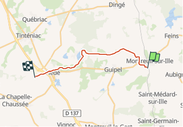

14.6 km | 16.9 km-effort

User


FREE GPS app for hiking
 SityTrail
IGN / Geographical institutes
SityTrail World
The world is yours!
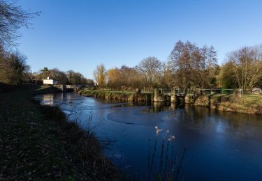
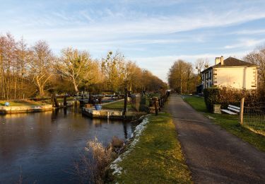
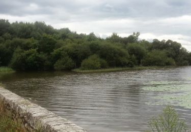
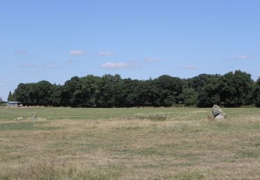
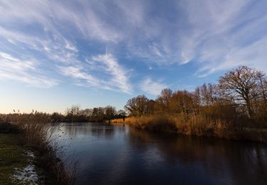
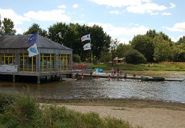
Trail Walking of 15 km to be discovered at Brittany, Ille-et-Vilaine, Montreuil-sur-Ille. This trail is proposed by patrickdanilo.
Randonnée Marche de 15 km à découvrir à Bretagne, Ille-et-Vilaine, Montreuil-sur-Ille. Cette randonnée est proposée par patrickdanilo.


Mountain bike
On foot
On foot
On foot
On foot
On foot

Nordic walking
On foot
Walking