


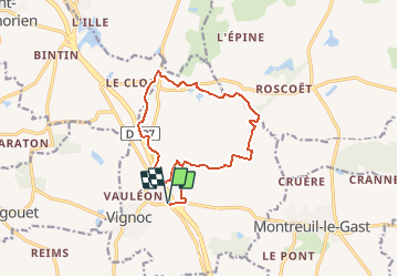

18.3 km | 21 km-effort


User


FREE GPS app for hiking
 SityTrail
IGN / Geographical institutes
SityTrail World
The world is yours!
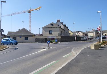
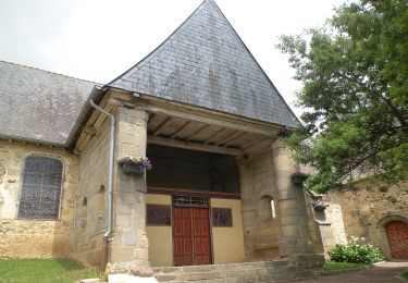
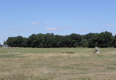
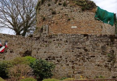
Trail Mountain bike of 12.8 km to be discovered at Brittany, Ille-et-Vilaine, Vignoc. This trail is proposed by tracegps.
Circuit proposé par la Communauté de Communes du Val d’Ille et la mairie de Vignoc. Départ de la Maison du Val d'Ille. Le parcours permet d’avoir un apercu du patrimoine naturel. Retrouvez la fiche du circuit sur le site de la communauté de communes du Val d’Ille.


On foot
On foot

On foot
On foot

On foot
On foot
On foot
On foot
Walking