


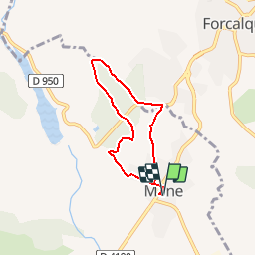


18 km | 26 km-effort

User


FREE GPS app for hiking
 SityTrail
IGN / Geographical institutes
SityTrail World
The world is yours!
Trail Walking of 5.6 km to be discovered at Provence-Alpes-Côte d'Azur, Alpes-de-Haute-Provence, Mane. This trail is proposed by tracegps.
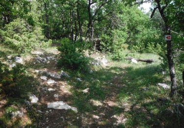
Ce circuit vous est proposé par la commune de Mane en Provence. Départ de la place de l'église de Mane. Plusieurs "cabanons pointus" bordent le chemin. Retrouvez les circuits de la commune de Mane.


Walking
Cycle

Walking
Mountain bike

Walking

Cycle
Walking
Walking
Walking