Trail Walking Châteaufort - Le ravin de terre basse - Chateaufort - Photo
 tracegps
tracegps

User

© OpenStreetMap contributors
Length
Length
15 km
Max alt
Max alt
1224 m
Uphill gradient
Uphill gradient
714 m
Km-Effort
Km-Effort  
24 km
Min alt
Min alt
586 m
Downhill gradient
Downhill gradient
710 m
Boucle
Boucle
Yes
Creation date :
2014-12-10 00:00:00.0
Updated on :
2014-12-10 00:00:00.0

(1 Reviews)

Walking
Walking
4h30
Difficulty : Very difficult

Scan this QR Code to open this trail in the SityTrail application

FREE GPS app for hiking

Logo SityTrail SityTrail

IGN / Geographical institutes

Download SityTrail from the App Store Download SityTrail from Google Play

Logo SityTrail SityTrail World

The world is yours!

Download SityTrail from the App Store Download SityTrail from Google Play Download SityTrail on Huawei AppGallery

About

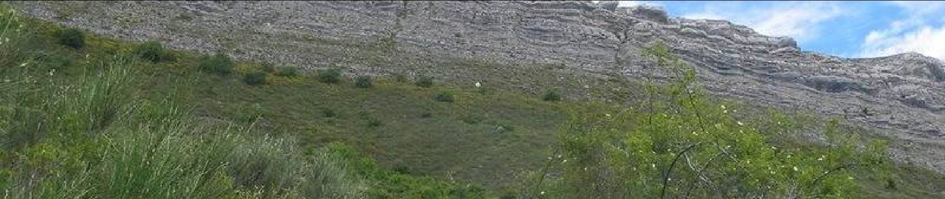
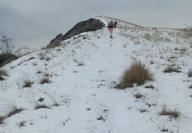
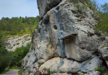
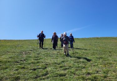
Trail Walking of 15 km to be discovered at Provence-Alpes-Côte d'Azur, Alpes-de-Haute-Provence, Châteaufort. This trail is proposed by tracegps.

Description

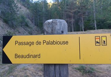
Se garer sur la place située à l’entrée de Châteaufort. Pour ne pas avoir à surcharger en balisage toute la première partie du circuit, on suit le tracé rouge et blanc du tout récent GR 653D qui permet la liaison de St jacques de Compostelle à Rome. Ce très joli sentier vous conduit directement à St Geniez. Dans le village, s’engager à gauche de la fontaine pour suivre le balisage jaune jusqu’au pas de l’échelle. Attention, arrivé au pas de l’échelle, laisser à droite le sentier menant au sommet du Trainon en restant sur la piste principale. Cette piste, régulièrement descendante, traverse le domaine de la Pène avant de rejoindre votre point de départ. Retrouvez le circuit sur le site des Hautes Terres de Provence.

Elevation profile

Photos

Positioning

Country:
France
Region :
Provence-Alpes-Côte d'Azur
Department/Province :
Alpes-de-Haute-Provence
Municipality :
Châteaufort
Location:
Unknown
Start:(UTM)
261939 ; 4906670 (32T) N.

Comments

Please log in to post a review or rate the element


Trails nearby

Trail Walking Saint-Geniez - Le Trainon - Photo
Walking
Marco05

Walking

Medium
(1)
Saint-Geniez, Provence-Alpes-Côte d'Azur, Alpes-de-Haute-Provence, France
9.8 km | 17.3 km-effort
3h 56min
Yes
Trail Walking Entrepierres - SAINT GENIEZ . LE MOURRE DE GACHE PAR LA FONT DE MEGE N - Photo
Walking
RobinMicheline

Walking

Medium
Entrepierres, Provence-Alpes-Côte d'Azur, Alpes-de-Haute-Provence, France
10.9 km | 17.4 km-effort
3h 8min
Yes
Trail Walking Saint-Geniez - 230629 Pierre écrite falaise de Gache - Photo
Walking
huguesb

Walking

Difficult
Saint-Geniez, Provence-Alpes-Côte d'Azur, Alpes-de-Haute-Provence, France
8.4 km | 13.6 km-effort
3h 4min
No
Trail Walking Saint-Geniez - St Geniez boucle  320 + - Photo
Walking
claude nier

Walking

Medium
Saint-Geniez, Provence-Alpes-Côte d'Azur, Alpes-de-Haute-Provence, France
6.9 km | 11.1 km-effort
5h 5min
Yes
Trail Walking Saint-Geniez - Crête d’Aigues Champ (Riou de Jabron) - Photo
Walking
PapouBertrand

Walking

Very difficult
Saint-Geniez, Provence-Alpes-Côte d'Azur, Alpes-de-Haute-Provence, France
10.1 km | 16.8 km-effort
5h 44min
Yes
Trail Walking Clamensane - VALAVOIRE  Pas de Palabiouse , bergerie de Premarche o l s  - Photo
Walking
RobinMicheline

Walking

Difficult
Clamensane, Provence-Alpes-Côte d'Azur, Alpes-de-Haute-Provence, France
11.7 km | 22 km-effort
3h 53min
Yes
Trail Walking Clamensane - VALAVOIRE.  Pas de Palabrouse.  Fontaine de  Pouille o l s - Photo
Walking
RobinMicheline

Walking

Medium
Clamensane, Provence-Alpes-Côte d'Azur, Alpes-de-Haute-Provence, France
11.9 km | 19.8 km-effort
3h 50min
Yes
Trail Walking Saint-Geniez - sommet du Trainon - Photo
Walking
gibello

Walking

Easy
Saint-Geniez, Provence-Alpes-Côte d'Azur, Alpes-de-Haute-Provence, France
11.8 km | 20 km-effort
4h 52min
Yes
Trail Walking Saint-Geniez - Rando St Gêniez (04) - Photo
Walking
LEGUE

Walking

Saint-Geniez, Provence-Alpes-Côte d'Azur, Alpes-de-Haute-Provence, France
75 km | 89 km-effort
3h 10min
No


Close
My subscriptions