


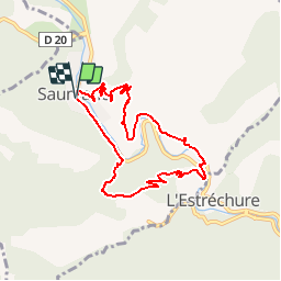

13.6 km | 21 km-effort


User


FREE GPS app for hiking
 SityTrail
IGN / Geographical institutes
SityTrail World
The world is yours!
Trail Walking of 8 km to be discovered at Occitania, Gard, Saumane. This trail is proposed by tracegps.
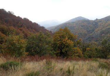
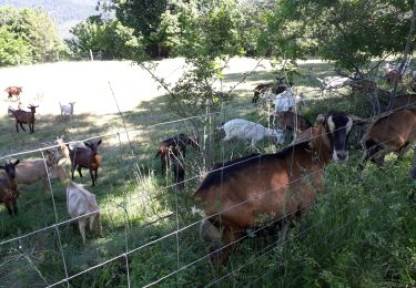
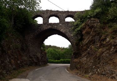
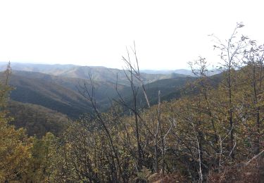
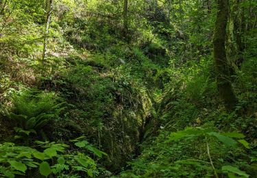
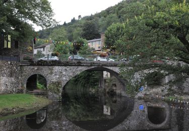
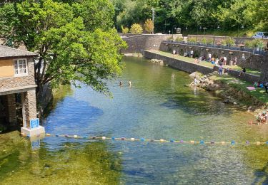
Circuit proposé par l'Office de Tourisme de la Vallée Borgne. Au cœur de la vallée Borgne, entre Saumane et L’Estréchure, c’est un petit tour du Gardon qui vous est offert. Son cours pourtant tranquille a fait couler bien des histoires d’eaux dont certaines, furieusement mémorables. En passant de l’adret à l’ubac, vous pourrez aussi mesurer combien l’adaptation de l’homme au milieu a façonné le merveilleux paysage cévenol. Départ du Village de Saumane. La pochette de 15 circuits balisés est en vente (5€) à l’Office de Tourisme de la Vallée Borgne. L’Office de Tourisme est ouvert toute l'année. Vous trouverez sur place de quoi se restaurer et dormir.


Walking
Walking
Walking
Walking

Walking
Walking
Walking
On foot
Walking