


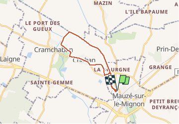
Mauze sur le Mignon

olaze
User

Length
10.6 km

Max alt
14 m

Uphill gradient
40 m
Km-Effort
11.1 km

Min alt
2 m

Downhill gradient
41 m
Boucle
Yes
Creation date :
2014-12-10 00:00:00.0
Updated on :
2014-12-10 00:00:00.0
2h25
Difficulty : Easy

FREE GPS app for hiking
 SityTrail
IGN / Geographical institutes
SityTrail Plus
The world is yours!
About
Trail Walking of 10.6 km to be discovered at New Aquitaine, Deux-Sèvres, Mauzé-sur-le-Mignon. This trail is proposed by olaze.
Description
Promenade au départ et retour de Mauzé sur le Mignon, le long du canal du Mignon et la campagne.
Club rando Bessines.
Positioning
Country:
France
Region :
New Aquitaine
Department/Province :
Deux-Sèvres
Municipality :
Mauzé-sur-le-Mignon
Location:
Unknown
Start:(Dec)
Start:(UTM)
679078 ; 5118870 (30T) N.
Comments