


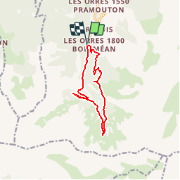


7.7 km | 13.7 km-effort


User


FREE GPS app for hiking
 SityTrail
IGN / Geographical institutes
SityTrail World
The world is yours!
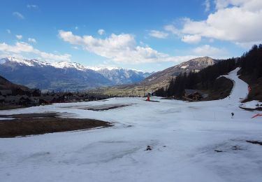
Trail Other activity of 10.5 km to be discovered at Provence-Alpes-Côte d'Azur, Hautes-Alpes, Les Orres. This trail is proposed by Renefrt.
Walking

Walking

Walking

Mountain bike
Walking
Walking

Touring skiing

Snowshoes
Touring skiing
J'enlève la mention facile pour la classer en moyenne. A faire quand il n'y a pas de neige