


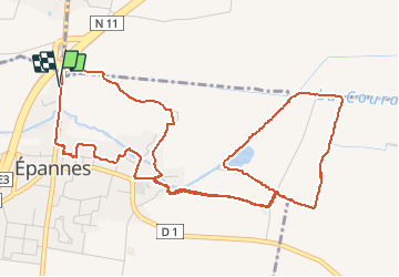


10.2 km | 10.9 km-effort


User


FREE GPS app for hiking
 SityTrail
IGN / Geographical institutes
SityTrail World
The world is yours!
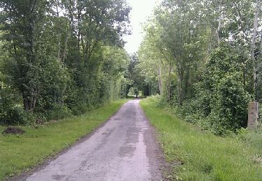
Trail Walking of 6.8 km to be discovered at New Aquitaine, Deux-Sèvres, Épannes. This trail is proposed by olaze.
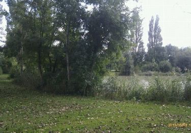
Circuit départ et retour d''Epannes. Plan d''eau d''epannes,le marais.
Club rando Bessines*
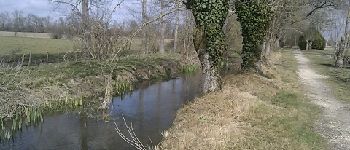
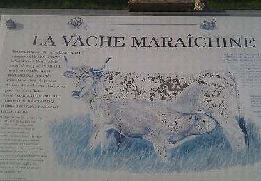
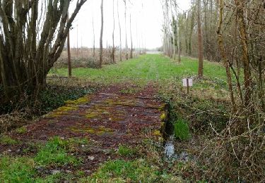
. 6,8km - Photo 1")
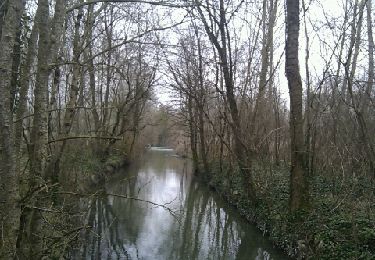
. 6,8km - Photo 2")
Walking
Walking

Walking

Walking
Walking
Walking
Walking

Walking
Walking