


La Garette -(11km)

olaze
User
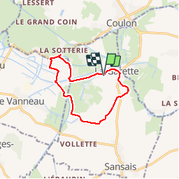

Length
11 km

Max alt
27 m

Uphill gradient
77 m
Km-Effort
12 km

Min alt
1 m

Downhill gradient
75 m
Boucle
Yes
Creation date :
2014-12-10 00:00:00.0
Updated on :
2014-12-10 00:00:00.0
2h26
Difficulty : Easy

FREE GPS app for hiking
 SityTrail
IGN / Geographical institutes
SityTrail Plus
The world is yours!
About
Trail Walking of 11 km to be discovered at New Aquitaine, Deux-Sèvres, Sansais. This trail is proposed by olaze.
Description
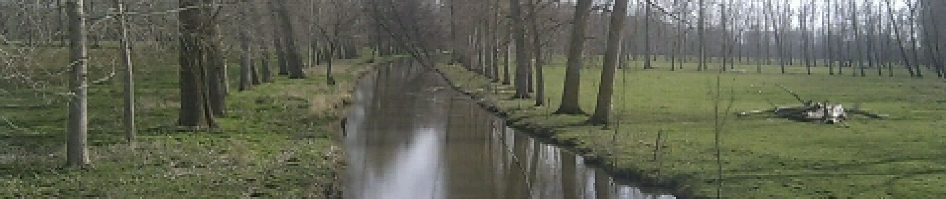
Agréable promenade à travers le marais.Départ et retour La Garette.
Club rando ATSCAF 79
Photos
 - Photo 1")
 - Photo 2")
 - Photo 3")
 - Photo 4")
 - Photo 5")
 - Photo 6")
 - Photo 7")
 - Photo 8")
 - Photo 9")
Positioning
Country:
France
Region :
New Aquitaine
Department/Province :
Deux-Sèvres
Municipality :
Sansais
Location:
Unknown
Start:(Dec)
Start:(UTM)
685209 ; 5130643 (30T) N.
Comments