


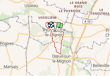
Thorigny-sur-le Mignon

olaze
User

Length
9.2 km

Max alt
39 m

Uphill gradient
45 m
Km-Effort
9.8 km

Min alt
28 m

Downhill gradient
44 m
Boucle
Yes
Creation date :
2014-12-10 00:00:00.0
Updated on :
2014-12-10 00:00:00.0
2h17
Difficulty : Easy

FREE GPS app for hiking
 SityTrail
IGN / Geographical institutes
SityTrail Plus
The world is yours!
About
Trail Walking of 9.2 km to be discovered at New Aquitaine, Deux-Sèvres, Val-du-Mignon. This trail is proposed by olaze.
Description
Promenade dans la campagne autour de Thorigny-sur-le-Mignon
Départ et retour de Thorigny.
Club rando Bessines.
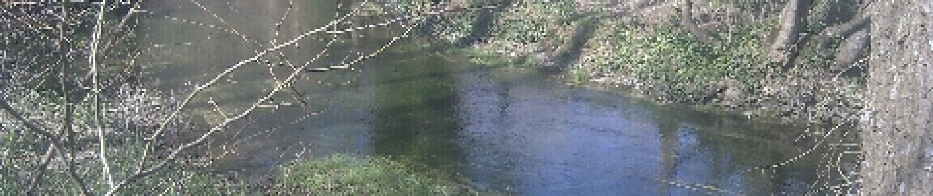
Photos


Positioning
Country:
France
Region :
New Aquitaine
Department/Province :
Deux-Sèvres
Municipality :
Val-du-Mignon
Location:
Unknown
Start:(Dec)
Start:(UTM)
689138 ; 5113899 (30T) N.
Comments