


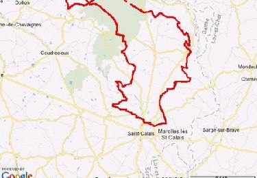
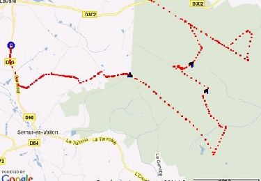
71 km | 84 km-effort


User


FREE GPS app for hiking
 SityTrail
IGN / Geographical institutes
SityTrail World
The world is yours!
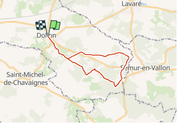
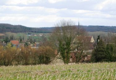
Trail Walking of 12.1 km to be discovered at Pays de la Loire, Sarthe, Dollon. This trail is proposed by Manoto.
Balisage : jaune
Départ : Place de l'église
Mountain bike
Mountain bike
Walking

Walking
Walking

Walking
Mountain bike
Mountain bike

Mountain bike