


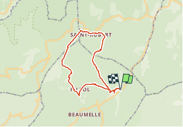

12.1 km | 17.9 km-effort

User


FREE GPS app for hiking
 SityTrail
IGN / Geographical institutes
SityTrail World
The world is yours!
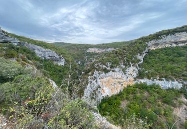
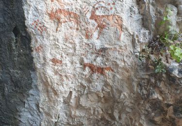
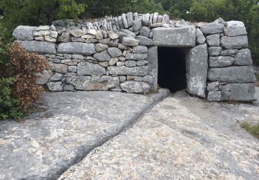
Trail Walking of 16.6 km to be discovered at Provence-Alpes-Côte d'Azur, Vaucluse, Lioux. This trail is proposed by pasmig.
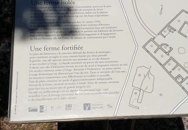
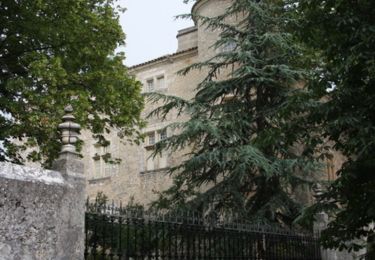
Au départ du chateau de Javon boucle avec halte aux ruines de la ferme de Lausemolan.
Au point 709 il faut tracer tout droit en direction du point 694. Ne pas passer par la verrerie clôtures sur le passage avant le point 704.


Walking
Walking
Walking
Walking
Walking
Walking

Walking

Walking
Walking