


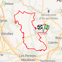

13 km | 15.4 km-effort


User


FREE GPS app for hiking
 SityTrail
IGN / Geographical institutes
SityTrail World
The world is yours!
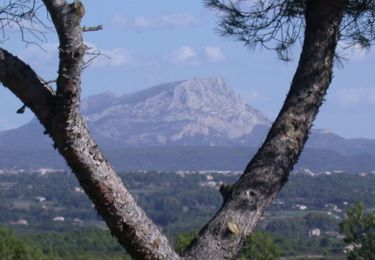
Trail Mountain bike of 44 km to be discovered at Provence-Alpes-Côte d'Azur, Bouches-du-Rhône, Cabriès. This trail is proposed by Miqueou.

Walking
Walking
Walking
Walking

Other activity
Mountain bike
Walking
Running

Mountain bike
Bonne journée sauf près de la décharge pas la bonne trace , mon dieu les épines c'a pique super quand même À faire